Albany night lights from space
Night Light of Albany (Western Australia) from space (Australia) Src. Average luminocity for 10x10km area is 23.0175% and for 50x50km: 1.1271%.
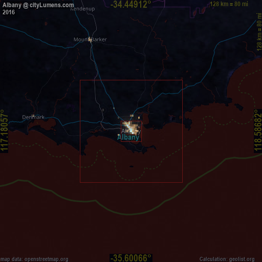
Analysis of Albany night lights 2016
Square area 10x10 km:
 1.92%
1.92%90-99
1.57%80-89
0.7%70-79
4.02%60-69
7.87%50-59
3.15%40-49
4.55%30-39
6.12%20-29
1.92%10-19
16.08%0-9
52.1%Square area 50x50 km:
0.08%90-99
0.06%80-89
0.03%70-79
0.16%60-69
0.37%50-59
0.15%40-49
0.22%30-39
0.25%20-29
0.13%10-19
0.81%0-9
97.74%Clear (daylight) street map image can be seen on geolist.org.
Map coordinates:
34° 26' 56.8" South, 117° 10' 50.1" East
35° 1' 36.9" South, 117° 53' 1.3" East
35° 36' 2.4" South, 118° 35' 12.6" East
Some cities around Albany sort by population:
• Bunbury
279.7 km =173.8 mi,  312°
312°
• Busselton
278.7 km =173.2 mi,  303°
303°
• Australind
278.5 km =173.1 mi, 314°
• Dalyellup
275.5 km =171.2 mi, 310°
• Eaton
276.3 km =171.7 mi, 313°
• South Bunbury
278.6 km =173.1 mi, 312°
• Collie
243.9 km =151.6 mi,  319°
319°
• Carey Park
277.6 km =172.5 mi, 312°
2077963 (p: 33,650)
Sources (retrieved 2019-11-25):
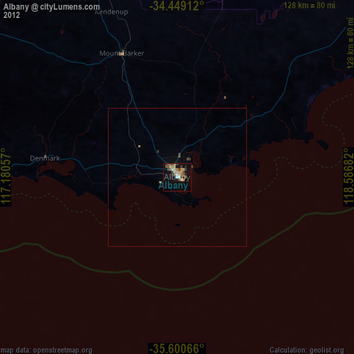
» Earth at Night: Flat Maps 2012, 2016