Australind night lights from space
Night Light of Australind (Western Australia) from space (Australia) Src. Average luminocity for 10x10km area is 23.3759% and for 50x50km: 3.8766%.
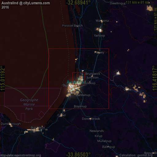
Analysis of Australind night lights 2016
Square area 10x10 km:
 0.7%
0.7%90-99
1.4%80-89
0%70-79
0.7%60-69
10.84%50-59
5.07%40-49
5.24%30-39
6.82%20-29
5.94%10-19
21.33%0-9
41.96%Square area 50x50 km:
0.19%90-99
0.36%80-89
0.14%70-79
0.27%60-69
1.5%50-59
0.98%40-49
0.51%30-39
1.03%20-29
0.63%10-19
2.94%0-9
91.46%Clear (daylight) street map image can be seen on geolist.org.
Map coordinates:
32° 41' 21.9" South, 115° 0' 42.9" East
33° 16' 45.1" South, 115° 42' 54.1" East
33° 51' 54.1" South, 116° 25' 5.4" East
Some cities around Australind sort by population:
• Bunbury
8.7 km =5.4 mi,  232°
232°
• Busselton
53.8 km =33.4 mi,  219°
219°
• Dalyellup
17.1 km =10.6 mi,  212°
212°
• Eaton
4.3 km =2.7 mi,  192°
192°
• West Busselton
55.6 km =34.5 mi, 220°
• South Bunbury
10.8 km =6.7 mi, 224°
• Collie
42 km =26.1 mi,  102°
102°
• Carey Park
9.9 km =6.2 mi, 218°
2077454 (p: 13,940)
Sources (retrieved 2019-11-25):
» Earth at Night: Flat Maps 2012, 2016