Dalyellup night lights from space
Night Light of Dalyellup (Western Australia) from space (Australia) Src. Average luminocity for 10x10km area is 16.2552% and for 50x50km: 3.9213%.
Analysis of Dalyellup night lights 2016
Square area 10x10 km:
 0%
0%90-99
1.4%80-89
1.57%70-79
1.22%60-69
5.24%50-59
5.42%40-49
0.7%30-39
4.2%20-29
3.67%10-19
13.29%0-9
63.29%Square area 50x50 km:
0.19%90-99
0.36%80-89
0.14%70-79
0.27%60-69
1.47%50-59
1.05%40-49
0.52%30-39
1.02%20-29
0.68%10-19
2.91%0-9
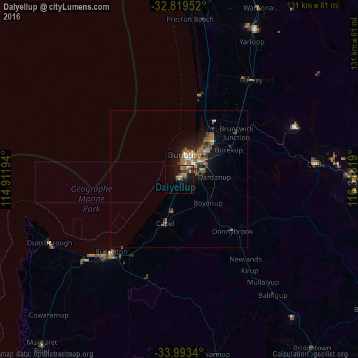
91.39%Clear (daylight) street map image can be seen on geolist.org.
Map coordinates:
32° 49' 10.3" South, 114° 54' 43" East
33° 24' 30.4" South, 115° 36' 54.2" East
33° 59' 36.2" South, 116° 19' 5.5" East
Some cities around Dalyellup sort by population:
• Bunbury
9.4 km =5.8 mi,  15°
15°
• Busselton
36.9 km =22.9 mi,  222°
222°
• Australind
17.1 km =10.6 mi,  32°
32°
• Eaton
13.2 km =8.2 mi,  39°
39°
• West Busselton
38.8 km =24.1 mi, 224°
• South Bunbury
6.8 km =4.2 mi,  14°
14°
• Collie
50.5 km =31.4 mi,  84°
84°
• Carey Park
7.4 km =4.6 mi, 25°
8349049 (p: 8,707)
Sources (retrieved 2019-11-25):
» Earth at Night: Flat Maps 2012, 2016