Busselton night lights from space
Night Light of Busselton (Western Australia) from space (Australia) Src. Average luminocity for 10x10km area is 12.9963% and for 50x50km: 1.0984%.
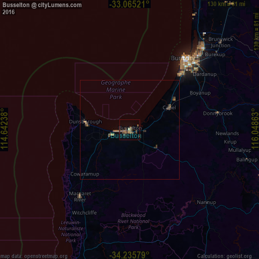
Analysis of Busselton night lights 2016
Square area 10x10 km:
 0%
0%90-99
0.73%80-89
0%70-79
0%60-69
5.86%50-59
3.66%40-49
3.85%30-39
4.95%20-29
1.83%10-19
0%0-9
79.12%Square area 50x50 km:
0%90-99
0.03%80-89
0.04%70-79
0.04%60-69
0.44%50-59
0.34%40-49
0.27%30-39
0.4%20-29
0.29%10-19
0.01%0-9
98.15%Clear (daylight) street map image can be seen on geolist.org.
Map coordinates:
33° 3' 54.8" South, 114° 38' 32.6" East
33° 39' 9" South, 115° 20' 43.8" East
34° 14' 8.8" South, 116° 2' 55.1" East
Some cities around Busselton sort by population:
• Bunbury
45.4 km =28.2 mi,  37°
37°
• Australind
53.8 km =33.4 mi, 39°
• Dalyellup
36.9 km =22.9 mi, 42°
• Eaton
50.1 km =31.1 mi, 41°
• West Busselton
2.2 km =1.4 mi,  253°
253°
• South Bunbury
43 km =26.7 mi, 38°
• Margaret River
41.9 km =26 mi,  216°
216°
• Carey Park
44 km =27.3 mi, 39°
2075265 (p: 21,898)
Sources (retrieved 2019-11-25):
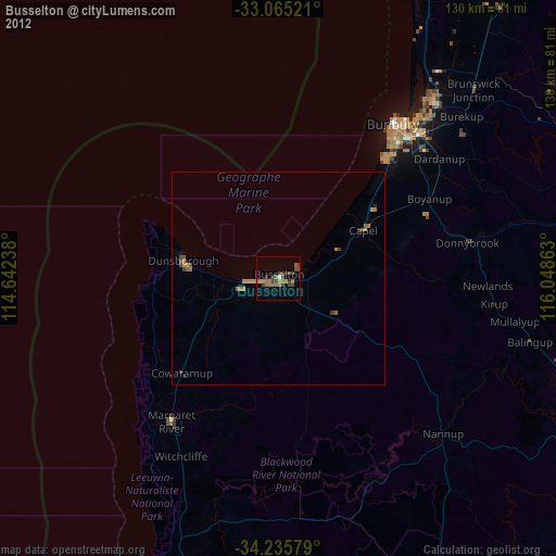
» Earth at Night: Flat Maps 2012, 2016