Salzburg night lights from space
Night Light of Salzburg from space (Austria) Src. Average luminocity for 10x10km area is 58.3899% and for 50x50km: 5.0347%.
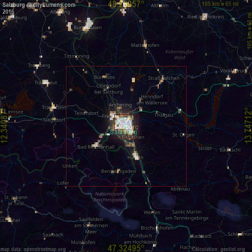
Analysis of Salzburg night lights 2016
Square area 10x10 km:
 18.6%
18.6%90-99
16.82%80-89
4.17%70-79
4.02%60-69
3.72%50-59
5.51%40-49
6.99%30-39
5.65%20-29
16.37%10-19
17.26%0-9
0.89%Square area 50x50 km:
0.91%90-99
0.93%80-89
0.29%70-79
0.33%60-69
0.6%50-59
0.74%40-49
0.86%30-39
0.62%20-29
1.67%10-19
3.19%0-9
89.87%Clear (daylight) street map image can be seen on geolist.org.
Map coordinates:
48° 16' 10.5" North, 12° 20' 27.1" East
47° 47' 57.9" North, 13° 2' 38.4" East
47° 19' 29.8" North, 13° 44' 49.6" East
Some cities around Salzburg sort by population:
• Bad Reichenhall, DE
14.6 km =9.1 mi,  237°
237°
• Freilassing, DE
6.6 km =4.1 mi,  314°
314°
• Ainring, DE
7.9 km =4.9 mi,  281°
281°
• Teisendorf, DE
17.7 km =11 mi,  288°
288°
• Hallein
13.6 km =8.5 mi,  162°
162°
• Laufen, DE
17.4 km =10.8 mi,  330°
330°
• Oberndorf bei Salzburg
18.7 km =11.6 mi, 333°
• Piding, DE
10.2 km =6.3 mi,  249°
249°
2766824 (p: 153,377)
Sources (retrieved 2019-11-25):
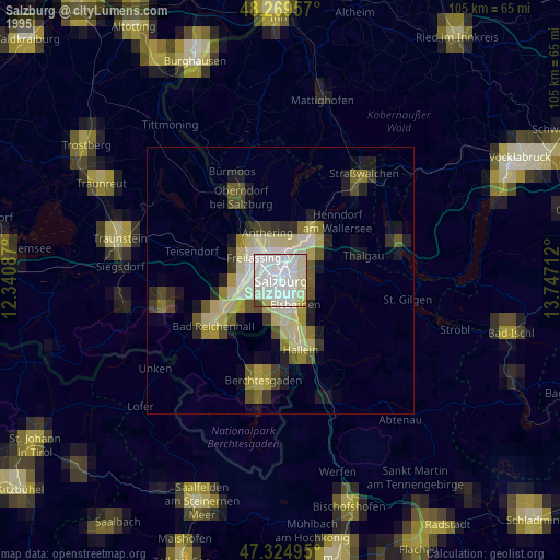
» NASA, Earths city lights 1995
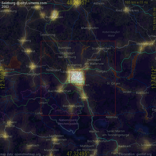
» NASA city lights 2003
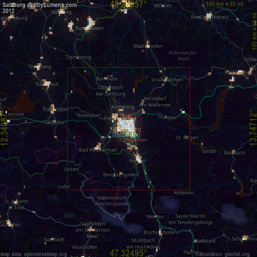
» Earth at Night: Flat Maps 2012, 2016