Piding night lights from space
Night Light of Piding (Bavaria) from space (Germany) Src. Average luminocity for 10x10km area is 14.2857% and for 50x50km: 5.4673%.
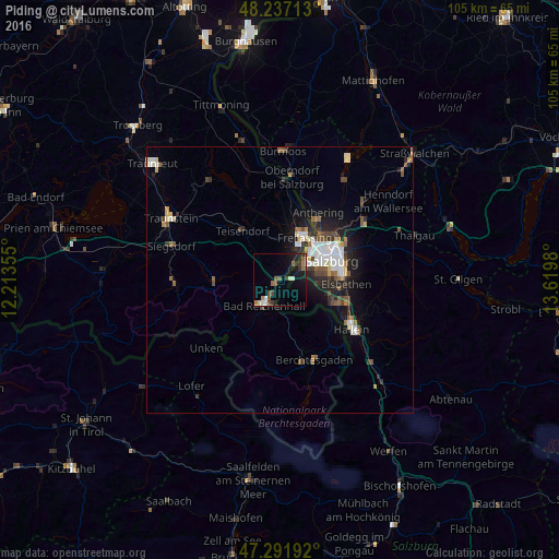
Analysis of Piding night lights 2016
Square area 10x10 km:
 1.93%
1.93%90-99
1.93%80-89
0.3%70-79
0.3%60-69
2.98%50-59
3.27%40-49
2.23%30-39
2.38%20-29
2.53%10-19
11.61%0-9
70.54%Square area 50x50 km:
0.99%90-99
1.02%80-89
0.4%70-79
0.34%60-69
0.63%50-59
0.81%40-49
0.89%30-39
0.65%20-29
1.62%10-19
3.2%0-9
89.46%Clear (daylight) street map image can be seen on geolist.org.
Map coordinates:
48° 14' 13.7" North, 12° 12' 48.8" East
47° 46' 0" North, 12° 55' 0" East
47° 17' 30.9" North, 13° 37' 11.3" East
Some cities around Piding sort by population:
• Salzburg, AT
10.2 km =6.3 mi,  69°
69°
• Bad Reichenhall
5 km =3.1 mi,  214°
214°
• Freilassing
9.6 km =6 mi,  30°
30°
• Ainring
5.5 km =3.4 mi,  19°
19°
• Teisendorf
11.7 km =7.3 mi,  321°
321°
• Berchtesgaden
16.2 km =10.1 mi,  156°
156°
• Bischofswiesen
15.9 km =9.9 mi, 161°
• Hallein, AT
16.5 km =10.3 mi,  124°
124°
2853855 (p: 5,259)
Sources (retrieved 2019-11-25):
» Earth at Night: Flat Maps 2012, 2016