Mattighofen night lights from space
Night Light of Mattighofen (Upper Austria) from space (Austria) Src. Average luminocity for 10x10km area is 3.0625% and for 50x50km: 2.2883%.
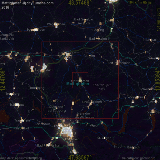
Analysis of Mattighofen night lights 2016
Square area 10x10 km:
 0%
0%90-99
0%80-89
0%70-79
0.6%60-69
1.79%50-59
1.04%40-49
0.15%30-39
0.74%20-29
1.04%10-19
0%0-9
94.64%Square area 50x50 km:
0.28%90-99
0.38%80-89
0.16%70-79
0.24%60-69
0.39%50-59
0.25%40-49
0.32%30-39
0.29%20-29
0.5%10-19
1.18%0-9
96.01%Clear (daylight) street map image can be seen on geolist.org.
Map coordinates:
48° 34' 28.8" North, 12° 26' 51.7" East
48° 6' 26.4" North, 13° 9' 2.9" East
47° 38' 8.4" North, 13° 51' 14.2" East
Some cities around Mattighofen sort by population:
• Burghausen, DE
24.7 km =15.3 mi,  286°
286°
• Ried im Innkreis
27.6 km =17.1 mi,  65°
65°
• Simbach am Inn, DE
20 km =12.4 mi,  331°
331°
• Laufen, DE
25.2 km =15.7 mi,  220°
220°
• Tittmoning, DE
28.9 km =18 mi,  259°
259°
• Oberndorf bei Salzburg
23.8 km =14.8 mi, 222°
• Kirchdorf am Inn, DE
19.9 km =12.4 mi,  321°
321°
• Rotthalmünster, DE
28.2 km =17.5 mi,  7°
7°
2771814 (p: 6,524)
Sources (retrieved 2019-11-25):
» Earth at Night: Flat Maps 2012, 2016