Rotthalmünster night lights from space
Night Light of Rotthalmünster (Bavaria) from space (Germany) Src. Average luminocity for 10x10km area is 0.3338% and for 50x50km: 2.749%.
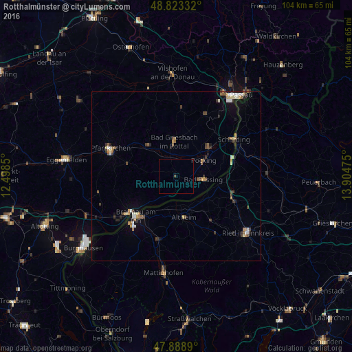
Analysis of Rotthalmünster night lights 2016
Square area 10x10 km:
 0%
0%90-99
0%80-89
0%70-79
0%60-69
0%50-59
0.14%40-49
0.43%30-39
0%20-29
0%10-19
0%0-9
99.43%Square area 50x50 km:
0.28%90-99
0.39%80-89
0.35%70-79
0.27%60-69
0.39%50-59
0.4%40-49
0.44%30-39
0.48%20-29
0.38%10-19
1.11%0-9
95.51%Clear (daylight) street map image can be seen on geolist.org.
Map coordinates:
48° 49' 24" North, 12° 29' 54.6" East
48° 21' 29.7" North, 13° 12' 5.8" East
47° 53' 20" North, 13° 54' 17.1" East
Some cities around Rotthalmünster sort by population:
• Pocking
9.5 km =5.9 mi,  59°
59°
• Simbach am Inn
16.8 km =10.4 mi,  231°
231°
• Bad Griesbach
10.4 km =6.5 mi,  356°
356°
• Fürstenzell
20.1 km =12.5 mi,  25°
25°
• Bad Füssing
8.2 km =5.1 mi,  95°
95°
• Bad Birnbach
12.6 km =7.8 mi,  319°
319°
• Triftern
15 km =9.3 mi,  285°
285°
• Kirchdorf am Inn
20.2 km =12.6 mi, 232°
2843682 (p: 5,115)
Sources (retrieved 2019-11-25):
» Earth at Night: Flat Maps 2012, 2016