Jakomini night lights from space
Night Light of Jakomini (Styria) from space (Austria) Src. Average luminocity for 10x10km area is 66.2741% and for 50x50km: 6.6057%.
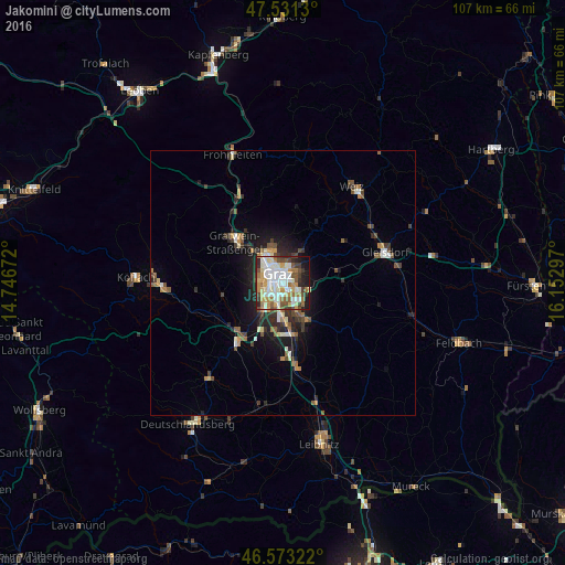
Analysis of Jakomini night lights 2016
Square area 10x10 km:
 13.35%
90-99
22.44%80-89
6.39%70-79
10.65%60-69
8.24%50-59
7.1%40-49
7.1%30-39
6.39%20-29
8.95%10-19
8.52%0-9
0.85%Square area 50x50 km:
0.81%90-99
1.22%80-89
0.54%70-79
0.83%60-69
0.8%50-59
1.06%40-49
0.97%30-39
1.07%20-29
1.88%10-19
3.83%0-9
87%Clear (daylight) street map image can be seen on geolist.org.
Map coordinates:
47° 31' 52.7" North, 14° 44' 48.2" East
47° 3' 15.9" North, 15° 26' 59.4" East
46° 34' 23.6" North, 16° 9' 10.7" East
Some cities around Jakomini sort by population:
• Graz
1.4 km =0.9 mi,  0°
0°
• Gries
2.1 km =1.3 mi,  294°
294°
• Geidorf
3.3 km =2.1 mi,  352°
352°
• Sankt Leonhard
1.8 km =1.1 mi,  20°
20°
• Sankt Peter
1.4 km =0.9 mi,  111°
111°
• Liebenau
2.7 km =1.7 mi,  151°
151°
• Waltendorf
1.9 km =1.2 mi,  43°
43°
• Puntigam
2.7 km =1.7 mi,  208°
208°
11903637 (p: 32,912)
Sources (retrieved 2019-11-25):
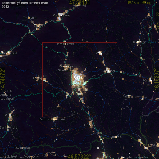
» Earth at Night: Flat Maps 2012, 2016