Sankt Leonhard night lights from space
Night Light of Sankt Leonhard (Styria) from space (Austria) Src. Average luminocity for 10x10km area is 62.402% and for 50x50km: 6.5495%.
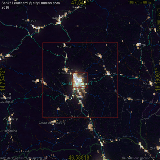
Analysis of Sankt Leonhard night lights 2016
Square area 10x10 km:
 13.07%
90-99
21.31%80-89
6.53%70-79
9.66%60-69
7.39%50-59
4.97%40-49
5.68%30-39
5.82%20-29
8.24%10-19
12.36%0-9
4.97%Square area 50x50 km:
0.81%90-99
1.22%80-89
0.54%70-79
0.83%60-69
0.8%50-59
1.01%40-49
0.94%30-39
1.07%20-29
1.86%10-19
3.84%0-9
87.07%Clear (daylight) street map image can be seen on geolist.org.
Map coordinates:
47° 32' 45.6" North, 14° 45' 17" East
47° 4' 9.3" North, 15° 27' 28.2" East
46° 35' 17.4" North, 16° 9' 39.5" East
Some cities around Sankt Leonhard sort by population:
• Graz
0.7 km =0.4 mi,  244°
244°
• Jakomini
1.8 km =1.1 mi,  200°
200°
• Lend
3.5 km =2.2 mi,  294°
294°
• Gries
2.7 km =1.7 mi,  253°
253°
• Geidorf
1.9 km =1.2 mi,  327°
327°
• Liebenau
4 km =2.5 mi,  170°
170°
• Waltendorf
0.7 km =0.4 mi,  113°
113°
• Ries
2.6 km =1.6 mi,  53°
53°
11903640 (p: 15,853)
Sources (retrieved 2019-11-25):
» Earth at Night: Flat Maps 2012, 2016