Gries night lights from space
Night Light of Gries (Styria) from space (Austria) Src. Average luminocity for 10x10km area is 63.9091% and for 50x50km: 6.6054%.
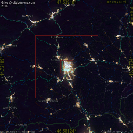
Analysis of Gries night lights 2016
Square area 10x10 km:
 13.35%
90-99
22.16%80-89
6.39%70-79
9.94%60-69
6.82%50-59
5.82%40-49
5.82%30-39
4.26%20-29
12.5%10-19
12.93%0-9
0%Square area 50x50 km:
0.81%90-99
1.22%80-89
0.54%70-79
0.83%60-69
0.81%50-59
1.05%40-49
0.94%30-39
1.09%20-29
1.82%10-19
3.83%0-9
87.05%Clear (daylight) street map image can be seen on geolist.org.
Map coordinates:
47° 32' 21" North, 14° 43' 15.9" East
47° 3' 44.5" North, 15° 25' 27.2" East
46° 34' 52.5" North, 16° 7' 38.4" East
Some cities around Gries sort by population:
• Graz
2 km =1.2 mi,  76°
76°
• Jakomini
2.1 km =1.3 mi,  114°
114°
• Lend
2.3 km =1.4 mi,  344°
344°
• Geidorf
2.8 km =1.7 mi,  31°
31°
• Eggenberg
2.1 km =1.3 mi,  293°
293°
• Sankt Leonhard
2.7 km =1.7 mi,  73°
73°
• Wetzelsdorf
2.2 km =1.4 mi,  241°
241°
• Waltendorf
3.3 km =2.1 mi, 81°
11903642 (p: 29,363)
Sources (retrieved 2019-11-25):
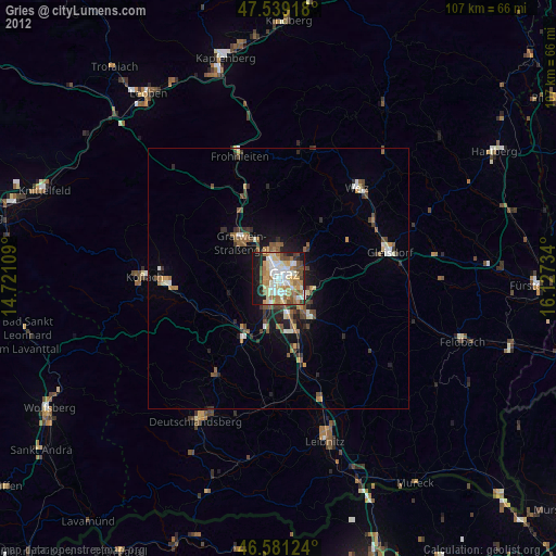
» Earth at Night: Flat Maps 2012, 2016