Geidorf night lights from space
Night Light of Geidorf (Styria) from space (Austria) Src. Average luminocity for 10x10km area is 54.6179% and for 50x50km: 6.541%.
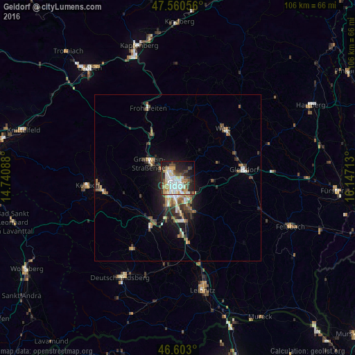
Analysis of Geidorf night lights 2016
Square area 10x10 km:
100  10.37%
90-99 17.76%
80-89 5.11%
70-79 8.52%
60-69 4.26%
50-59 4.83%
40-49 6.11%
30-39 6.39%
20-29 14.06%
10-19 17.19%
0-9 5.4%
10.37%90-99
17.76%80-89
5.11%70-79
8.52%60-69
4.26%50-59
4.83%40-49
6.11%30-39
6.39%20-29
14.06%10-19
17.19%0-9
5.4%Square area 50x50 km:
100 0.81%
90-99 1.22%
80-89 0.54%
70-79 0.81%
60-69 0.81%
50-59 1.01%
40-49 0.97%
30-39 1.05%
20-29 1.84%
10-19 3.84%
0-9 87.08%
0.81%90-99
1.22%80-89
0.54%70-79
0.81%60-69
0.81%50-59
1.01%40-49
0.97%30-39
1.05%20-29
1.84%10-19
3.84%0-9
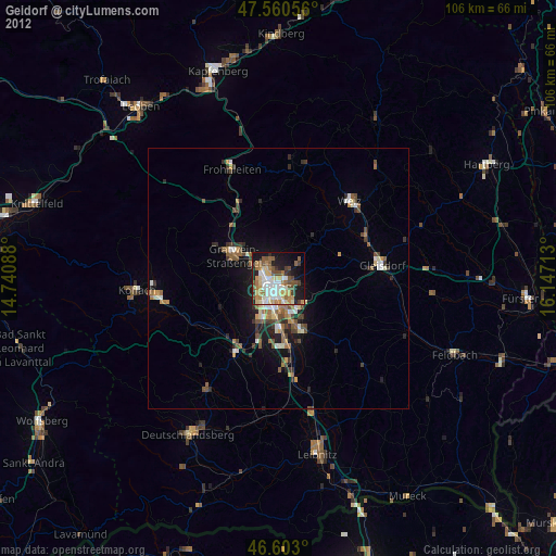
87.08%Clear (daylight) street map image can be seen on geolist.org.
Map coordinates:
47° 33' 38" North, 14° 44' 27.2" East
47° 5' 2.1" North, 15° 26' 38.4" East
46° 36' 10.8" North, 16° 8' 49.7" East
Some cities around Geidorf sort by population:
• Graz
2 km =1.2 mi,  166°
166°
• Jakomini
3.3 km =2.1 mi, 172°
• Lend
2.1 km =1.3 mi,  265°
265°
• Gries
2.8 km =1.7 mi,  211°
211°
• Andritz
3.7 km =2.3 mi,  334°
334°
• Sankt Leonhard
1.9 km =1.2 mi,  147°
147°
• Waltendorf
2.6 km =1.6 mi,  138°
138°
• Ries
3.1 km =1.9 mi,  91°
91°
11903639 (p: 24,767)
Sources (retrieved 2019-11-25):
» Earth at Night: Flat Maps 2012, 2016