Gamprin night lights from space
Night Light of Gamprin from space (Liechtenstein) Src. Average luminocity for 10x10km area is 12.3839% and for 50x50km: 7.3709%.
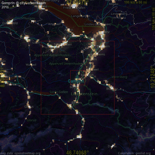
Analysis of Gamprin night lights 2016
Square area 10x10 km:
100  0.15%
0.15%
90-99 1.04%
80-89 0.6%
70-79 1.79%
60-69 1.19%
50-59 2.83%
40-49 2.98%
30-39 1.93%
20-29 1.49%
10-19 16.22%
0-9 69.79%
0.15%90-99
1.04%80-89
0.6%70-79
1.79%60-69
1.19%50-59
2.83%40-49
2.98%30-39
1.93%20-29
1.49%10-19
16.22%0-9
69.79%Square area 50x50 km:
100 0.4%
90-99 0.91%
80-89 0.61%
70-79 1.05%
60-69 1.27%
50-59 1.13%
40-49 1.33%
30-39 1.13%
20-29 1.56%
10-19 6.98%
0-9 83.62%
0.4%90-99
0.91%80-89
0.61%70-79
1.05%60-69
1.27%50-59
1.13%40-49
1.33%30-39
1.13%20-29
1.56%10-19
6.98%0-9
83.62%Clear (daylight) street map image can be seen on geolist.org.
Map coordinates:
47° 41' 44.8" North, 8° 48' 22.4" East
47° 13' 13.4" North, 9° 30' 33.7" East
46° 44' 26.4" North, 10° 12' 44.9" East
Some cities around Gamprin sort by population:
• Buchs, CH
6.3 km =3.9 mi,  201°
201°
• Grabs, CH
6.5 km =4 mi,  229°
229°
• Schaan
6.2 km =3.9 mi,  180°
180°
• Eschen
1.4 km =0.9 mi,  137°
137°
• Mauren
2.6 km =1.6 mi,  95°
95°
• Ruggell
2.3 km =1.4 mi,  31°
31°
• Schellenberg
3.1 km =1.9 mi,  66°
66°
• Planken
4.7 km =2.9 mi,  145°
145°
3042062 (p: 1,268)
Sources (retrieved 2019-11-25):
» Earth at Night: Flat Maps 2012, 2016