Villa Nueva night lights from space
Night Light of Villa Nueva (Cordoba) from space (Argentina) Src. Average luminocity for 10x10km area is 55.0495% and for 50x50km: 4.0185%.
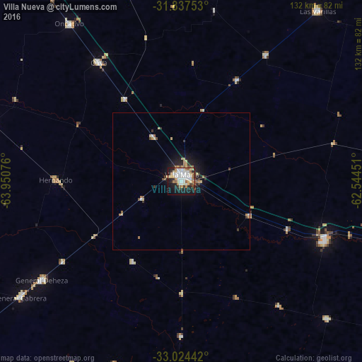
Analysis of Villa Nueva night lights 2016
Square area 10x10 km:
 15.02%
90-99
14.1%80-89
8.61%70-79
4.03%60-69
8.24%50-59
2.2%40-49
2.75%30-39
4.03%20-29
13.55%10-19
23.44%0-9
4.03%Square area 50x50 km:
0.65%90-99
0.6%80-89
0.69%70-79
0.38%60-69
0.69%50-59
0.26%40-49
0.3%30-39
0.55%20-29
1.07%10-19
2.82%0-9
91.98%Clear (daylight) street map image can be seen on geolist.org.
Map coordinates:
31° 50' 15.1" South, 63° 57' 2.7" West
32° 25' 58.5" South, 63° 14' 51.5" West
33° 1' 27.9" South, 62° 32' 40.2" West
Some cities around Villa Nueva sort by population:
• Bell Ville
56.6 km =35.2 mi,  112°
112°
• Oncativo
70.8 km =44 mi,  324°
324°
• Oliva
53 km =32.9 mi,  325°
325°
• Hernando
45.6 km =28.3 mi,  270°
270°
• General Cabrera
72.2 km =44.9 mi,  234°
234°
• Justiniano Posse
73.2 km =45.5 mi,  133°
133°
• Pozo del Molle
55.4 km =34.4 mi,  33°
33°
• Tancacha
72 km =44.7 mi,  287°
287°
3832662 (p: 16,841)
Sources (retrieved 2019-11-25):
» Earth at Night: Flat Maps 2012, 2016