Villa María night lights from space
Night Light of Villa María (Cordoba) from space (Argentina) Src. Average luminocity for 10x10km area is 60.3938% and for 50x50km: 4.1606%.
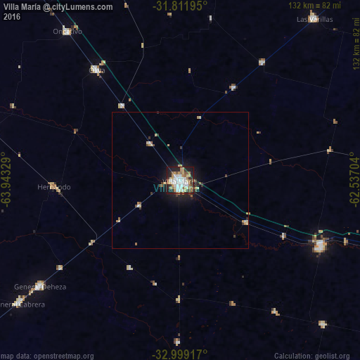
Analysis of Villa María night lights 2016
Square area 10x10 km:
 15.02%
90-99
14.1%80-89
10.62%70-79
5.49%60-69
10.99%50-59
4.21%40-49
2.56%30-39
5.13%20-29
17.77%10-19
13.92%0-9
0.18%Square area 50x50 km:
0.65%90-99
0.63%80-89
0.75%70-79
0.44%60-69
0.69%50-59
0.26%40-49
0.3%30-39
0.55%20-29
1.12%10-19
2.82%0-9
91.79%Clear (daylight) street map image can be seen on geolist.org.
Map coordinates:
31° 48' 43" South, 63° 56' 35.8" West
32° 24' 27" South, 63° 14' 24.6" West
32° 59' 57" South, 62° 32' 13.3" West
Some cities around Villa María sort by population:
• Bell Ville
57.1 km =35.5 mi,  115°
115°
• Oncativo
68.9 km =42.8 mi,  322°
322°
• Oliva
51.2 km =31.8 mi, 322°
• Hernando
46.3 km =28.8 mi,  267°
267°
• General Cabrera
74.4 km =46.2 mi,  232°
232°
• Justiniano Posse
74.7 km =46.4 mi,  135°
135°
• Pozo del Molle
52.7 km =32.7 mi,  34°
34°
• Tancacha
71.9 km =44.7 mi,  284°
284°
3832694 (p: 92,453)
Sources (retrieved 2019-11-25):
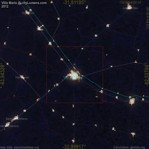
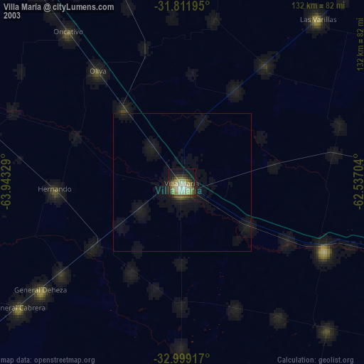
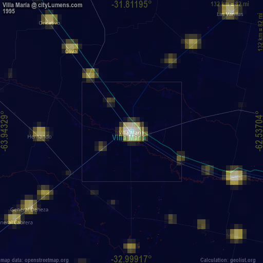
» NASA, Earths city lights 1995
» NASA city lights 2003
» Earth at Night: Flat Maps 2012, 2016