Adelia María night lights from space
Night Light of Adelia María (Cordoba) from space (Argentina) Src. Average luminocity for 10x10km area is 7.8205% and for 50x50km: 0.3598%.
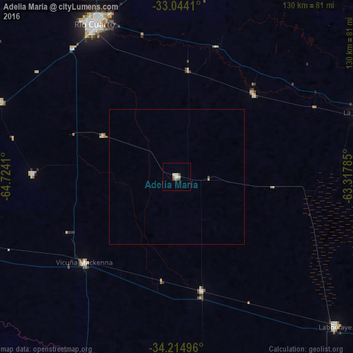
Analysis of Adelia María night lights 2016
Square area 10x10 km:
 1.1%
1.1%90-99
0.73%80-89
2.56%70-79
0.37%60-69
1.1%50-59
0.73%40-49
2.01%30-39
0.18%20-29
0%10-19
0%0-9
91.21%Square area 50x50 km:
0.04%90-99
0.03%80-89
0.13%70-79
0.01%60-69
0.04%50-59
0.03%40-49
0.11%30-39
0.01%20-29
0%10-19
0%0-9
99.6%Clear (daylight) street map image can be seen on geolist.org.
Map coordinates:
33° 2' 38.8" South, 64° 43' 26.8" West
33° 37' 53.5" South, 64° 1' 15.5" West
34° 12' 53.9" South, 63° 19' 4.3" West
Some cities around Adelia María sort by population:
• Río Cuarto
63.5 km =39.5 mi,  331°
331°
• Laboulaye
80.1 km =49.8 mi,  133°
133°
• La Carlota
71.1 km =44.2 mi,  70°
70°
• Vicuña Mackenna
46.9 km =29.1 mi,  226°
226°
• Coronel Moldes
53.3 km =33.1 mi,  271°
271°
• Sampacho
70.6 km =43.9 mi,  292°
292°
• General Levalle
43.5 km =27 mi,  168°
168°
• Las Higueras
64.9 km =40.3 mi,  337°
337°
3866935 (p: 6,434)
Sources (retrieved 2019-11-25):
» Earth at Night: Flat Maps 2012, 2016