Coronel Moldes night lights from space
Night Light of Coronel Moldes (Cordoba) from space (Argentina) Src. Average luminocity for 10x10km area is 7.9212% and for 50x50km: 0.5636%.
Analysis of Coronel Moldes night lights 2016
Square area 10x10 km:
 2.01%
2.01%90-99
1.65%80-89
0.73%70-79
0.73%60-69
1.1%50-59
0.37%40-49
0%30-39
0.92%20-29
1.28%10-19
0%0-9
91.21%Square area 50x50 km:
0.08%90-99
0.06%80-89
0.13%70-79
0.05%60-69
0.08%50-59
0.01%40-49
0.01%30-39
0.19%20-29
0.1%10-19
0%0-9
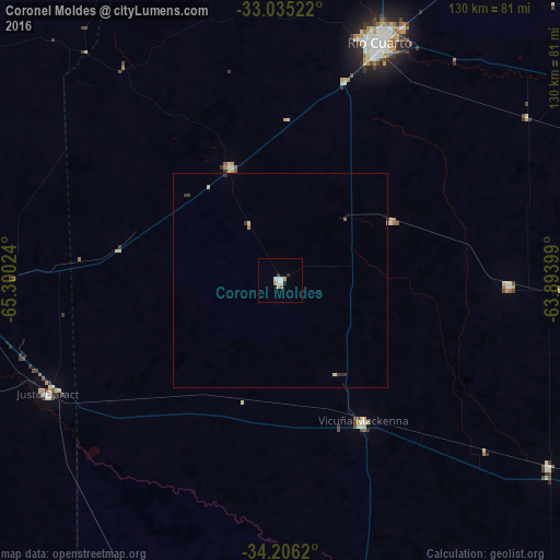
99.28%Clear (daylight) street map image can be seen on geolist.org.
Map coordinates:
33° 2' 6.8" South, 65° 18' 0.9" West
33° 37' 21.7" South, 64° 35' 49.6" West
34° 12' 22.3" South, 63° 53' 38.4" West
Some cities around Coronel Moldes sort by population:
• Río Cuarto
59.3 km =36.8 mi,  22°
22°
• Villa Mercedes
79.9 km =49.6 mi,  265°
265°
• Justo Daract
60.2 km =37.4 mi,  244°
244°
• Vicuña Mackenna
38.1 km =23.7 mi,  150°
150°
• Sampacho
29 km =18 mi,  336°
336°
• Adelia María
53.3 km =33.1 mi,  91°
91°
• General Levalle
75.9 km =47.2 mi,  125°
125°
• Las Higueras
65.5 km =40.7 mi,  25°
25°
3860178 (p: 8,104)
Sources (retrieved 2019-11-25):
» Earth at Night: Flat Maps 2012, 2016