Victoria night lights from space
Night Light of Victoria (Entre Rios) from space (Argentina) Src. Average luminocity for 10x10km area is 25.7902% and for 50x50km: 1.1868%.

Analysis of Victoria night lights 2016
Square area 10x10 km:
 3.15%
3.15%90-99
3.15%80-89
4.72%70-79
5.07%60-69
2.45%50-59
3.85%40-49
1.05%30-39
4.55%20-29
1.4%10-19
25.17%0-9
45.45%Square area 50x50 km:
0.13%90-99
0.13%80-89
0.2%70-79
0.21%60-69
0.1%50-59
0.19%40-49
0.04%30-39
0.2%20-29
0.07%10-19
1.04%0-9
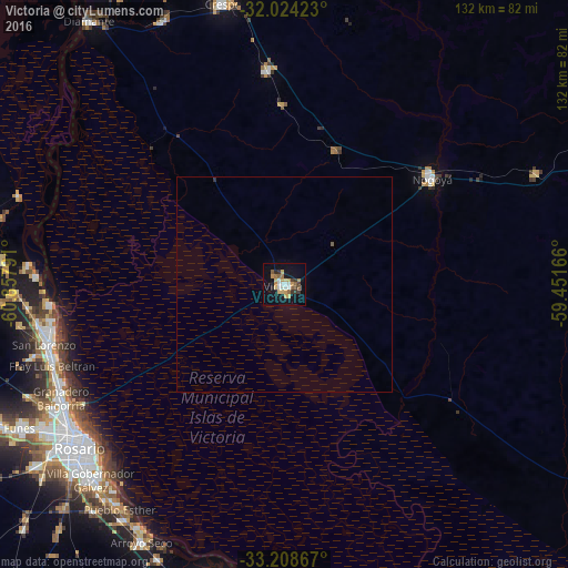
97.69%Clear (daylight) street map image can be seen on geolist.org.
Map coordinates:
32° 1' 27.2" South, 60° 51' 28.5" West
32° 37' 6.3" South, 60° 9' 17.2" West
33° 12' 31.2" South, 59° 27' 6" West
Some cities around Victoria sort by population:
• Rosario
58.2 km =36.2 mi,  231°
231°
• Gobernador Gálvez
64.5 km =40.1 mi,  224°
224°
• Granadero Baigorria
58.9 km =36.6 mi,  243°
243°
• Capitán Bermúdez
57.4 km =35.7 mi,  246°
246°
• Arroyo Seco
68.2 km =42.4 mi,  208°
208°
• Crespo
67.1 km =41.7 mi,  347°
347°
• Fray Luis A. Beltrán
57 km =35.4 mi, 250°
• General Ramírez
49.4 km =30.7 mi, 354°
3832934 (p: 25,139)
Sources (retrieved 2019-11-25):
» Earth at Night: Flat Maps 2012, 2016