General Ramírez night lights from space
Night Light of General Ramírez (Entre Rios) from space (Argentina) Src. Average luminocity for 10x10km area is 9.7605% and for 50x50km: 2.3927%.
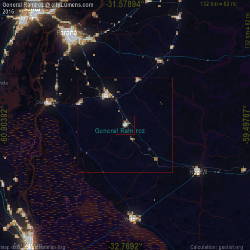
Analysis of General Ramírez night lights 2016
Square area 10x10 km:
 1.57%
1.57%90-99
1.22%80-89
0.7%70-79
2.1%60-69
1.4%50-59
0.7%40-49
0.17%30-39
2.62%20-29
1.4%10-19
0%0-9
88.11%Square area 50x50 km:
0.3%90-99
0.29%80-89
0.14%70-79
0.43%60-69
0.39%50-59
0.34%40-49
0.21%30-39
0.5%20-29
0.22%10-19
1.17%0-9
96%Clear (daylight) street map image can be seen on geolist.org.
Map coordinates:
31° 34' 44.2" South, 60° 54' 14.1" West
32° 10' 33.6" South, 60° 12' 2.8" West
32° 46' 9.1" South, 59° 29' 51.6" West
Some cities around General Ramírez sort by population:
• Paraná
58.2 km =36.2 mi,  327°
327°
• Victoria
49.4 km =30.7 mi,  174°
174°
• Diamante
43 km =26.7 mi,  286°
286°
• Crespo
19.2 km =11.9 mi, 328°
• Coronda
71.4 km =44.4 mi, 288°
• Viale
38.8 km =24.1 mi,  28°
28°
• Villa María Grande
63.4 km =39.4 mi, 26°
• San Benito
49.2 km =30.6 mi, 332°
3855067 (p: 8,614)
Sources (retrieved 2019-11-25):
» Earth at Night: Flat Maps 2012, 2016