Arroyo Seco night lights from space
Night Light of Arroyo Seco (Santa Fe) from space (Argentina) Src. Average luminocity for 10x10km area is 35.9652% and for 50x50km: 16.0387%.
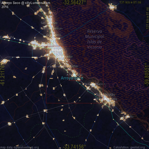
Analysis of Arroyo Seco night lights 2016
Square area 10x10 km:
 3.11%
3.11%90-99
6.04%80-89
4.21%70-79
7.88%60-69
4.4%50-59
7.33%40-49
2.56%30-39
2.75%20-29
11.72%10-19
36.63%0-9
13.37%Square area 50x50 km:
3.48%90-99
2.64%80-89
1.33%70-79
1.91%60-69
2.37%50-59
2.37%40-49
2.1%30-39
2.31%20-29
3.04%10-19
9.18%0-9
69.27%Clear (daylight) street map image can be seen on geolist.org.
Map coordinates:
32° 33' 51.4" South, 61° 12' 42.3" West
33° 9' 17.6" South, 60° 30' 31.1" West
33° 44' 29.6" South, 59° 48' 19.8" West
Some cities around Arroyo Seco sort by population:
• Rosario
26.1 km =16.2 mi,  332°
332°
• San Nicolás de los Arroyos
34.1 km =21.2 mi,  125°
125°
• Gobernador Gálvez
18.5 km =11.5 mi,  318°
318°
• Villa Constitución
18.5 km =11.5 mi,  115°
115°
• Granadero Baigorria
38.4 km =23.9 mi, 329°
• Capitán Bermúdez
41.8 km =26 mi, 332°
• Pérez
29.8 km =18.5 mi,  305°
305°
• Funes
38.7 km =24 mi, 313°
3865385 (p: 20,008)
Sources (retrieved 2019-11-25):
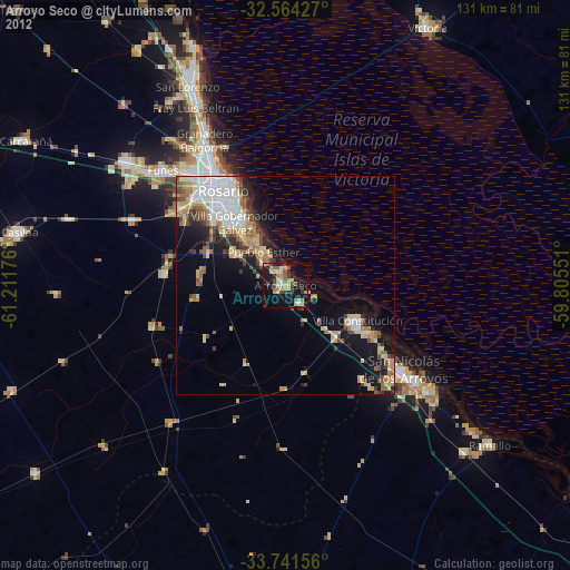
» Earth at Night: Flat Maps 2012, 2016