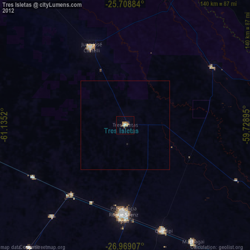
Tres Isletas night lights from space
Night Light of Tres Isletas (Chaco) from space (Argentina) Src. Average luminocity for 10x10km area is 14.7841% and for 50x50km: 0.6477%.
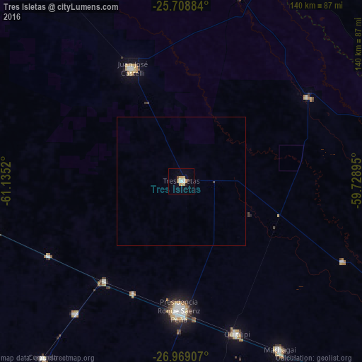
Analysis of Tres Isletas night lights 2016
Square area 10x10 km:
 2.65%
2.65%90-99
1.89%80-89
2.65%70-79
4.36%60-69
0.57%50-59
0%40-49
1.52%30-39
0%20-29
0.19%10-19
3.22%0-9
82.95%Square area 50x50 km:
0.11%90-99
0.08%80-89
0.11%70-79
0.18%60-69
0.02%50-59
0%40-49
0.08%30-39
0.02%20-29
0.01%10-19
0.13%0-9
99.27%Clear (daylight) street map image can be seen on geolist.org.
Map coordinates:
25° 42' 31.8" South, 61° 8' 6.7" West
26° 20' 26.4" South, 60° 25' 55.5" West
26° 58' 8.7" South, 59° 43' 44.2" West
Some cities around Tres Isletas sort by population:
• Presidencia Roque Sáenz Peña
49.4 km =30.7 mi,  180°
180°
• Castelli
47.6 km =29.6 mi,  336°
336°
• Quitilipi
62.5 km =38.8 mi,  159°
159°
• Machagai
75.4 km =46.9 mi,  149°
149°
• Pampa del Indio
59 km =36.7 mi,  56°
56°
• Campo Largo
65.4 km =40.6 mi,  218°
218°
• Aviá Terai
48.4 km =30.1 mi, 217°
• Concepción del Bermejo
58.7 km =36.5 mi,  240°
240°
3833794 (p: 24,747)
Sources (retrieved 2019-11-25):
» Earth at Night: Flat Maps 2012, 2016