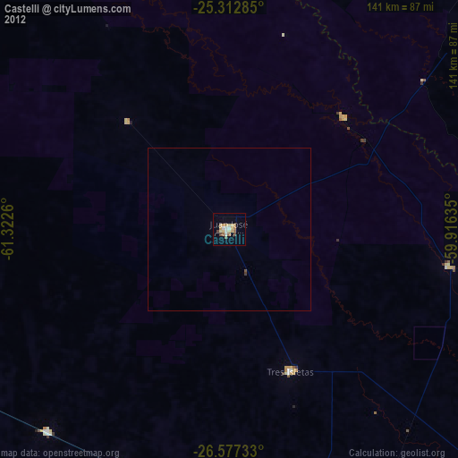
Castelli night lights from space
Night Light of Castelli (Chaco) from space (Argentina) Src. Average luminocity for 10x10km area is 23.3095% and for 50x50km: 1.0227%.
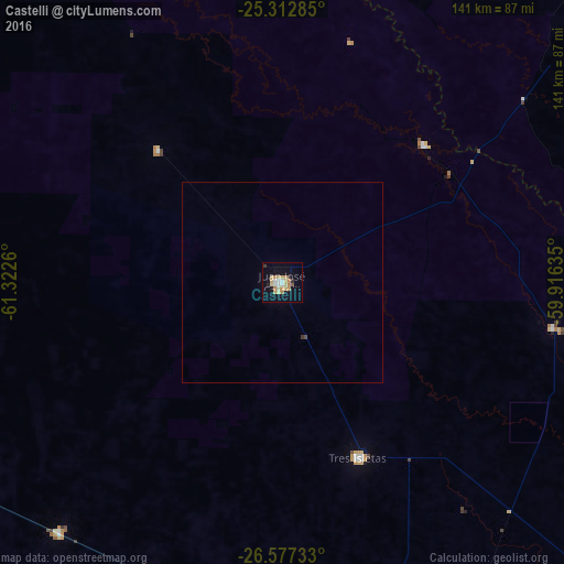
Analysis of Castelli night lights 2016
Square area 10x10 km:
 2.18%
2.18%90-99
3.17%80-89
6.55%70-79
4.76%60-69
3.17%50-59
0.79%40-49
0%30-39
2.18%20-29
1.19%10-19
17.66%0-9
58.33%Square area 50x50 km:
0.09%90-99
0.12%80-89
0.26%70-79
0.19%60-69
0.12%50-59
0.03%40-49
0.03%30-39
0.12%20-29
0.05%10-19
0.7%0-9
98.29%Clear (daylight) street map image can be seen on geolist.org.
Map coordinates:
25° 18' 46.3" South, 61° 19' 21.4" West
25° 56' 48.4" South, 60° 37' 10.1" West
26° 34' 38.4" South, 59° 54' 58.9" West
Some cities around Castelli sort by population:
• Presidencia Roque Sáenz Peña
94.9 km =59 mi,  169°
169°
• Tres Isletas
47.6 km =29.6 mi,  156°
156°
• Pampa del Indio
69.1 km =42.9 mi,  99°
99°
• Campo Largo
97.5 km =60.6 mi,  193°
193°
• Pampa del Infierno
83.2 km =51.7 mi,  221°
221°
• Aviá Terai
82.8 km =51.4 mi, 187°
• Los Frentones
94.4 km =58.7 mi,  237°
237°
• Concepción del Bermejo
79.5 km =49.4 mi,  204°
204°
3862320 (p: 36,588)
Sources (retrieved 2019-11-25):
» Earth at Night: Flat Maps 2012, 2016