Machagai night lights from space
Night Light of Machagai (Chaco) from space (Argentina) Src. Average luminocity for 10x10km area is 19.8829% and for 50x50km: 2.0961%.

Analysis of Machagai night lights 2016
Square area 10x10 km:
 2.78%
2.78%90-99
2.98%80-89
6.15%70-79
0.99%60-69
2.18%50-59
0%40-49
2.58%30-39
2.98%20-29
0.2%10-19
8.33%0-9
70.83%Square area 50x50 km:
0.26%90-99
0.31%80-89
0.45%70-79
0.22%60-69
0.28%50-59
0.04%40-49
0.25%30-39
0.19%20-29
0.08%10-19
0.77%0-9
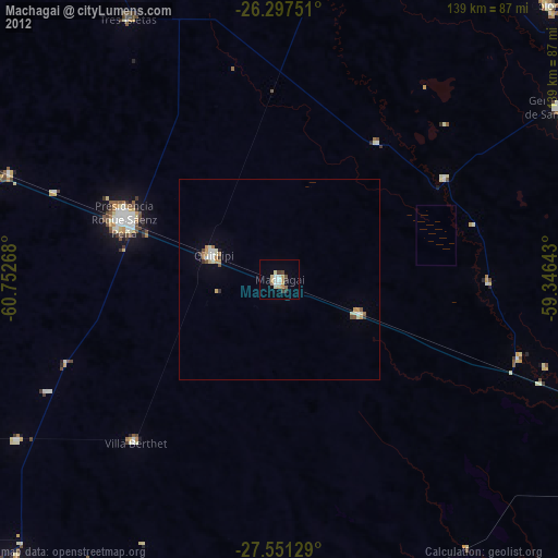
97.16%Clear (daylight) street map image can be seen on geolist.org.
Map coordinates:
26° 17' 51" South, 60° 45' 9.6" West
26° 55' 34.1" South, 60° 2' 58.4" West
27° 33' 4.6" South, 59° 20' 47.1" West
Some cities around Machagai sort by population:
• Presidencia Roque Sáenz Peña
41.7 km =25.9 mi,  292°
292°
• Quitilipi
17.8 km =11.1 mi, 290°
• Tres Isletas
75.4 km =46.9 mi,  329°
329°
• Presidencia de la Plaza
22.2 km =13.8 mi,  112°
112°
• Villa Berthet
54.3 km =33.7 mi,  221°
221°
• San Bernardo
77 km =47.8 mi,  238°
238°
• Campo Largo
79.8 km =49.6 mi,  280°
280°
• Aviá Terai
72.6 km =45.1 mi, 291°
3845330 (p: 28,070)
Sources (retrieved 2019-11-25):
» Earth at Night: Flat Maps 2012, 2016