Arauco night lights from space
Night Light of Arauco (La Rioja) from space (Argentina) Src. Average luminocity for 10x10km area is 18.9375% and for 50x50km: 1.3788%.
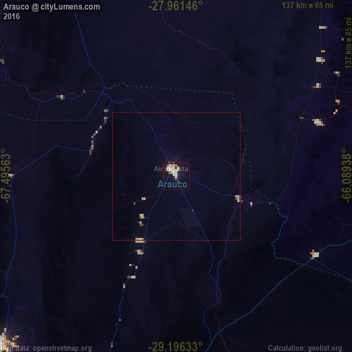
Analysis of Arauco night lights 2016
Square area 10x10 km:
 0.95%
0.95%90-99
3.6%80-89
5.3%70-79
4.17%60-69
2.46%50-59
0.19%40-49
1.33%30-39
2.46%20-29
0%10-19
10.42%0-9
69.13%Square area 50x50 km:
0.04%90-99
0.14%80-89
0.41%70-79
0.35%60-69
0.13%50-59
0.04%40-49
0.13%30-39
0.19%20-29
0.07%10-19
0.53%0-9
97.98%Clear (daylight) street map image can be seen on geolist.org.
Map coordinates:
27° 57' 41.3" South, 67° 29' 44.3" West
28° 34' 50.6" South, 66° 47' 33" West
29° 11' 46.8" South, 66° 5' 21.8" West
Some cities around Arauco sort by population:
• San Fernando del Valle de Catamarca
99.2 km =61.6 mi,  82°
82°
• La Rioja
92.5 km =57.5 mi,  183°
183°
• Chilecito
94.3 km =58.6 mi,  226°
226°
• Tinogasta
95 km =59 mi,  307°
307°
• Andalgalá
120.5 km =74.9 mi,  22°
22°
• Fiambalá
129.5 km =80.5 mi,  321°
321°
• Huillapima
81 km =50.3 mi,  101°
101°
• Capayán
75.8 km =47.1 mi,  106°
106°
3865579 (p: 13,720)
Sources (retrieved 2019-11-25):
» Earth at Night: Flat Maps 2012, 2016