Las Breñas night lights from space
Night Light of Las Breñas (Chaco) from space (Argentina) Src. Average luminocity for 10x10km area is 23.5246% and for 50x50km: 2.7332%.
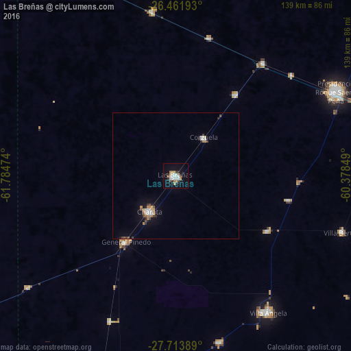

Analysis of Las Breñas night lights 2016
Square area 10x10 km:
 5.3%
5.3%90-99
4.55%80-89
3.98%70-79
1.7%60-69
1.89%50-59
0.76%40-49
1.7%30-39
2.65%20-29
1.7%10-19
20.27%0-9
55.49%Square area 50x50 km:
0.46%90-99
0.39%80-89
0.27%70-79
0.34%60-69
0.27%50-59
0.24%40-49
0.31%30-39
0.28%20-29
0.3%10-19
1.86%0-9
95.28%Clear (daylight) street map image can be seen on geolist.org.
Map coordinates:
26° 27' 42.9" South, 61° 47' 5.1" West
27° 5' 22.8" South, 61° 4' 53.8" West
27° 42' 50" South, 60° 22' 42.6" West
Some cities around Las Breñas sort by population:
• Charata
17.4 km =10.8 mi,  217°
217°
• General Pinedo
32.2 km =20 mi, 218°
• San Bernardo
42.6 km =26.5 mi,  121°
121°
• Campo Largo
39.9 km =24.8 mi,  36°
36°
• Corzuela
18.8 km =11.7 mi, 36°
• Hermoso Campo
63.2 km =39.3 mi,  204°
204°
• Aviá Terai
56.9 km =35.4 mi, 37°
• Concepción del Bermejo
56.2 km =34.9 mi,  13°
13°
3848687 (p: 26,955)
Sources (retrieved 2019-11-25):
» Earth at Night: Flat Maps 2012, 2016