Cañada de Gómez night lights from space
Night Light of Cañada de Gómez (Santa Fe) from space (Argentina) Src. Average luminocity for 10x10km area is 23.6119% and for 50x50km: 3.6802%.
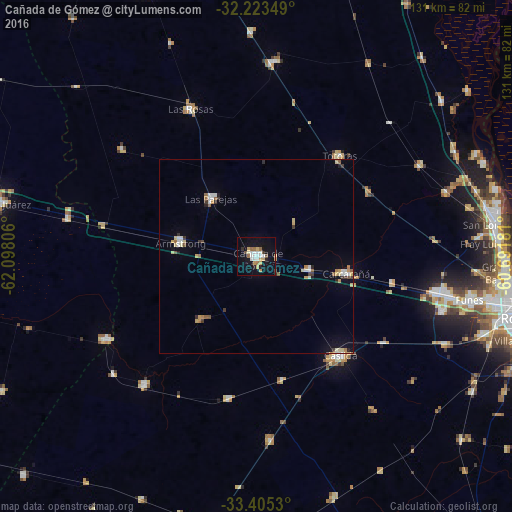
Analysis of Cañada de Gómez night lights 2016
Square area 10x10 km:
 4.55%
4.55%90-99
4.37%80-89
2.8%70-79
3.5%60-69
2.62%50-59
1.57%40-49
0.87%30-39
1.75%20-29
0.87%10-19
25.52%0-9
51.57%Square area 50x50 km:
0.47%90-99
0.56%80-89
0.58%70-79
0.49%60-69
0.42%50-59
0.37%40-49
0.17%30-39
0.5%20-29
0.26%10-19
1.76%0-9
94.43%Clear (daylight) street map image can be seen on geolist.org.
Map coordinates:
32° 13' 24.6" South, 62° 5' 53" West
32° 48' 58.9" South, 61° 23' 41.7" West
33° 24' 19.1" South, 60° 41' 30.5" West
Some cities around Cañada de Gómez sort by population:
• Casilda
33 km =20.5 mi,  140°
140°
• Carcarañá
23 km =14.3 mi,  101°
101°
• Las Rosas
41.6 km =25.8 mi,  335°
335°
• Roldán
46.5 km =28.9 mi, 101°
• Las Parejas
18.5 km =11.5 mi,  322°
322°
• Armstrong
19.7 km =12.2 mi,  281°
281°
• Totoras
33.4 km =20.8 mi,  39°
39°
• Cruz Alta
44.1 km =27.4 mi,  240°
240°
3862981 (p: 36,000)
Sources (retrieved 2019-11-25):
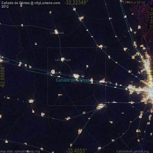
» Earth at Night: Flat Maps 2012, 2016