Gualeguay night lights from space
Night Light of Gualeguay (Entre Rios) from space (Argentina) Src. Average luminocity for 10x10km area is 35.7308% and for 50x50km: 1.6726%.
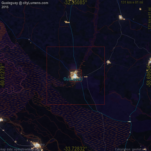
Analysis of Gualeguay night lights 2016
Square area 10x10 km:
 4.58%
4.58%90-99
3.66%80-89
5.31%70-79
5.86%60-69
6.04%50-59
9.71%40-49
1.83%30-39
4.76%20-29
6.78%10-19
31.32%0-9
20.15%Square area 50x50 km:
0.18%90-99
0.14%80-89
0.2%70-79
0.23%60-69
0.29%50-59
0.43%40-49
0.07%30-39
0.18%20-29
0.26%10-19
1.54%0-9
96.48%Clear (daylight) street map image can be seen on geolist.org.
Map coordinates:
32° 33' 3.1" South, 60° 0' 46" West
33° 8' 29.6" South, 59° 18' 34.8" West
33° 43' 42" South, 58° 36' 23.5" West
Some cities around Gualeguay sort by population:
• San Nicolás de los Arroyos
86.5 km =53.7 mi,  255°
255°
• San Pedro
68.3 km =42.4 mi,  208°
208°
• Villa Constitución
95.4 km =59.3 mi, 264°
• Victoria
98 km =60.9 mi,  306°
306°
• Fray Bentos, UY
93.1 km =57.8 mi,  88°
88°
• Rosario del Tala
94.5 km =58.7 mi,  9°
9°
• Urdinarrain
63.9 km =39.7 mi,  37°
37°
• Larroque
31 km =19.3 mi,  67°
67°
3433663 (p: 33,120)
Sources (retrieved 2019-11-25):
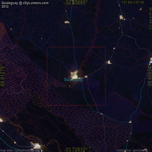
» Earth at Night: Flat Maps 2012, 2016