Cosquín night lights from space
Night Light of Cosquín (Cordoba) from space (Argentina) Src. Average luminocity for 10x10km area is 25.2985% and for 50x50km: 21.4246%.
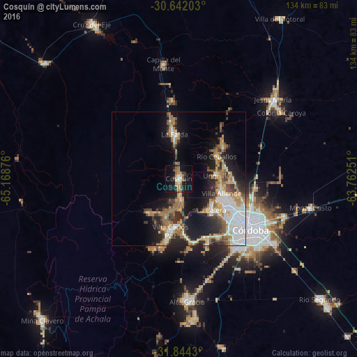
Analysis of Cosquín night lights 2016
Square area 10x10 km:
 2.75%
2.75%90-99
0.92%80-89
1.83%70-79
4.03%60-69
7.33%50-59
4.4%40-49
2.56%30-39
3.85%20-29
5.31%10-19
30.4%0-9
36.63%Square area 50x50 km:
3.91%90-99
3.23%80-89
2.78%70-79
2.69%60-69
4.14%50-59
2.6%40-49
2.32%30-39
3.18%20-29
5.09%10-19
12.46%0-9
57.61%Clear (daylight) street map image can be seen on geolist.org.
Map coordinates:
30° 38' 31.3" South, 65° 10' 7.5" West
31° 14' 42.3" South, 64° 27' 56.3" West
31° 50' 39.5" South, 63° 45' 45" West
Some cities around Cosquín sort by population:
• La Calera
16.5 km =10.3 mi,  131°
131°
• Villa Allende
17.1 km =10.6 mi,  108°
108°
• Río Ceballos
16.3 km =10.1 mi,  56°
56°
• Unquillo
14.3 km =8.9 mi,  83°
83°
• La Falda
17.6 km =10.9 mi,  352°
352°
• Salsipuedes
20.1 km =12.5 mi,  53°
53°
• Huerta Grande
19 km =11.8 mi, 352°
• Valle Hermoso
14.3 km =8.9 mi, 354°
3859965 (p: 19,070)
Sources (retrieved 2019-11-25):
» Earth at Night: Flat Maps 2012, 2016