El Colorado night lights from space
Night Light of El Colorado (Formosa) from space (Argentina) Src. Average luminocity for 10x10km area is 15.5992% and for 50x50km: 1.295%.
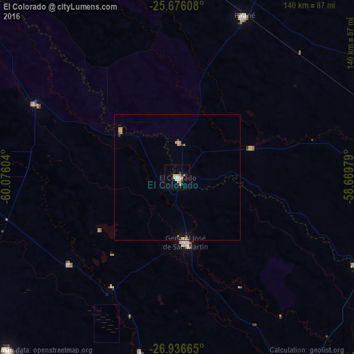
Analysis of El Colorado night lights 2016
Square area 10x10 km:
 1.59%
1.59%90-99
1.59%80-89
5.56%70-79
1.59%60-69
2.38%50-59
0%40-49
0.79%30-39
2.38%20-29
0.79%10-19
2.38%0-9
80.95%Square area 50x50 km:
0.09%90-99
0.11%80-89
0.29%70-79
0.36%60-69
0.21%50-59
0.06%40-49
0.03%30-39
0.15%20-29
0.05%10-19
0.3%0-9
98.36%Clear (daylight) street map image can be seen on geolist.org.
Map coordinates:
25° 40' 33.9" South, 60° 4' 33.7" West
26° 18' 29.1" South, 59° 22' 22.5" West
26° 56' 11.9" South, 58° 40' 11.2" West
Some cities around El Colorado sort by population:
• Quitilipi
104.6 km =65 mi,  233°
233°
• General José de San Martín
25.7 km =16 mi,  173°
173°
• Machagai
96.2 km =59.8 mi,  224°
224°
• Pirané
69.2 km =43 mi,  22°
22°
• Presidencia de la Plaza
90.1 km =56 mi,  211°
211°
• Pampa del Indio
63.2 km =39.3 mi,  297°
297°
• La Leonesa
104.9 km =65.2 mi,  140°
140°
• Palo Santo
82.9 km =51.5 mi,  2°
2°
3434731 (p: 12,780)
Sources (retrieved 2019-11-25):
» Earth at Night: Flat Maps 2012, 2016