General José de San Martín night lights from space
Night Light of General José de San Martín (Chaco) from space (Argentina) Src. Average luminocity for 10x10km area is 19.2311% and for 50x50km: 1.152%.
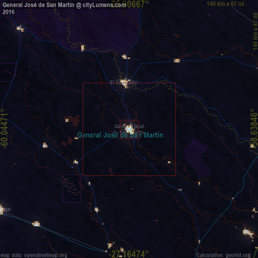
Analysis of General José de San Martín night lights 2016
Square area 10x10 km:
 3.03%
3.03%90-99
2.65%80-89
3.79%70-79
4.55%60-69
1.89%50-59
1.52%40-49
0%30-39
0.38%20-29
0.57%10-19
9.66%0-9
71.97%Square area 50x50 km:
0.15%90-99
0.14%80-89
0.23%70-79
0.23%60-69
0.11%50-59
0.06%40-49
0.06%30-39
0.05%20-29
0.05%10-19
0.41%0-9
98.5%Clear (daylight) street map image can be seen on geolist.org.
Map coordinates:
25° 54' 24" South, 60° 2' 41" West
26° 32' 14.7" South, 59° 20' 29.7" West
27° 9' 53.1" South, 58° 38' 18.5" West
Some cities around General José de San Martín sort by population:
• Quitilipi
94.4 km =58.7 mi,  247°
247°
• Machagai
82.5 km =51.3 mi,  238°
238°
• Pirané
92.5 km =57.5 mi,  14°
14°
• El Colorado
25.7 km =16 mi,  353°
353°
• Presidencia de la Plaza
71.7 km =44.6 mi,  223°
223°
• Pampa del Indio
80.4 km =50 mi,  312°
312°
• La Leonesa
84.3 km =52.4 mi,  131°
131°
• Margarita Belén
88.5 km =55 mi,  155°
155°
3433803 (p: 31,758)
Sources (retrieved 2019-11-25):
» Earth at Night: Flat Maps 2012, 2016