Chilecito night lights from space
Night Light of Chilecito (La Rioja) from space (Argentina) Src. Average luminocity for 10x10km area is 41.2163% and for 50x50km: 3.04%.
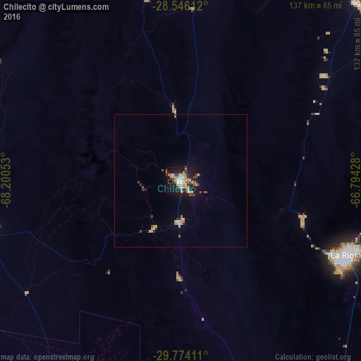
Analysis of Chilecito night lights 2016
Square area 10x10 km:
 6.35%
6.35%90-99
3.97%80-89
7.74%70-79
12.3%60-69
5.56%50-59
0.99%40-49
2.18%30-39
5.75%20-29
8.73%10-19
39.88%0-9
6.55%Square area 50x50 km:
0.27%90-99
0.18%80-89
0.55%70-79
0.74%60-69
0.42%50-59
0.18%40-49
0.36%30-39
0.49%20-29
0.42%10-19
2.37%0-9
94.01%Clear (daylight) street map image can be seen on geolist.org.
Map coordinates:
28° 32' 46" South, 68° 12' 1.9" West
29° 9' 43" South, 67° 29' 50.6" West
29° 46' 26.8" South, 66° 47' 39.4" West
Some cities around Chilecito sort by population:
• La Rioja
68.6 km =42.6 mi,  113°
113°
• San José de Jáchal
170.1 km =105.7 mi,  225°
225°
• Tinogasta
122.3 km =76 mi,  356°
356°
• Arauco
94.3 km =58.6 mi,  46°
46°
• Fiambalá
166.1 km =103.2 mi, 355°
• Huillapima
155.5 km =96.6 mi,  71°
71°
• San Agustín de Valle Fértil
163.6 km =101.7 mi,  179°
179°
• Capayán
147.5 km =91.7 mi, 73°
3861445 (p: 42,248)
Sources (retrieved 2019-11-25):
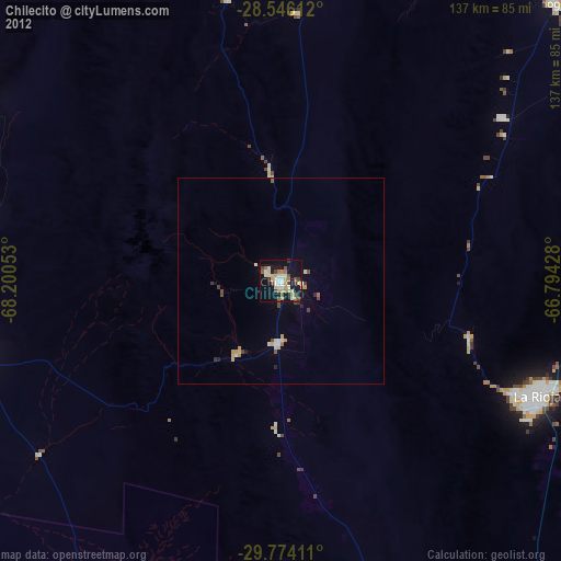
» Earth at Night: Flat Maps 2012, 2016