Esperanza night lights from space
Night Light of Esperanza (Santa Fe) from space (Argentina) Src. Average luminocity for 10x10km area is 27.7308% and for 50x50km: 10.4627%.
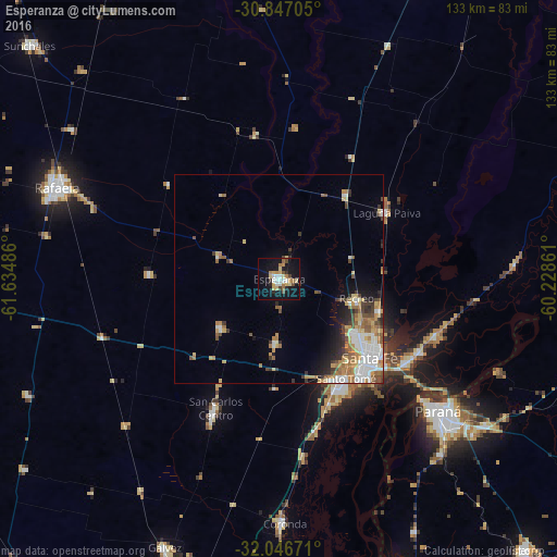
Analysis of Esperanza night lights 2016
Square area 10x10 km:
 2.97%
2.97%90-99
4.2%80-89
6.64%70-79
2.45%60-69
4.55%50-59
1.92%40-49
3.15%30-39
2.45%20-29
2.45%10-19
33.57%0-9
35.66%Square area 50x50 km:
1.88%90-99
1.79%80-89
1.5%70-79
1.14%60-69
2%50-59
1.29%40-49
1.22%30-39
1.33%20-29
1.39%10-19
3.8%0-9
82.66%Clear (daylight) street map image can be seen on geolist.org.
Map coordinates:
30° 50' 49.4" South, 61° 38' 5.5" West
31° 26' 55.7" South, 60° 55' 54.2" West
32° 2' 48.2" South, 60° 13' 43" West
Some cities around Esperanza sort by population:
• Santa Fe
30.7 km =19.1 mi,  136°
136°
• Paraná
49.5 km =30.8 mi,  129°
129°
• Rafaela
57.1 km =35.5 mi,  292°
292°
• Santo Tomé
28.5 km =17.7 mi,  146°
146°
• Coronda
58.3 km =36.2 mi,  178°
178°
• Recreo
19.4 km =12.1 mi,  103°
103°
• Laguna Paiva
30.5 km =19 mi,  58°
58°
• San Carlos Centro
34.6 km =21.5 mi,  205°
205°
3856022 (p: 35,885)
Sources (retrieved 2019-11-25):
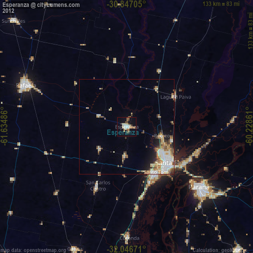
» Earth at Night: Flat Maps 2012, 2016