Santo Tomé night lights from space
Night Light of Santo Tomé (Santa Fe) from space (Argentina) Src. Average luminocity for 10x10km area is 67.6227% and for 50x50km: 18.4395%.
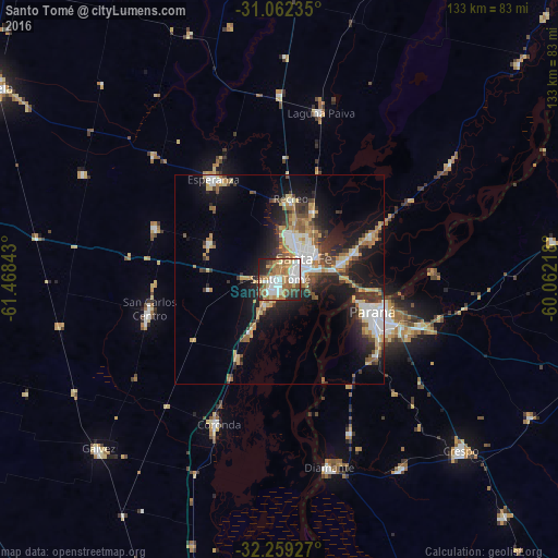

Analysis of Santo Tomé night lights 2016
Square area 10x10 km:
 17.4%
17.4%90-99
14.47%80-89
5.86%70-79
7.88%60-69
20.88%50-59
8.24%40-49
5.49%30-39
5.13%20-29
11.17%10-19
3.48%0-9
0%Square area 50x50 km:
3.31%90-99
2.65%80-89
2.45%70-79
2.22%60-69
2.88%50-59
2.02%40-49
2.2%30-39
3.08%20-29
4.77%10-19
11.13%0-9
63.3%Clear (daylight) street map image can be seen on geolist.org.
Map coordinates:
31° 3' 44.5" South, 61° 28' 6.3" West
31° 39' 45.9" South, 60° 45' 55.1" West
32° 15' 33.4" South, 60° 3' 43.8" West
Some cities around Santo Tomé sort by population:
• Santa Fe
5.6 km =3.5 mi,  73°
73°
• Paraná
23.7 km =14.7 mi,  109°
109°
• Esperanza
28.5 km =17.7 mi,  326°
326°
• Coronda
37.4 km =23.2 mi,  202°
202°
• Recreo
19.4 km =12.1 mi,  9°
9°
• Laguna Paiva
41.2 km =25.6 mi, 14°
• San Carlos Centro
31.8 km =19.8 mi,  256°
256°
• San Benito
33.4 km =20.8 mi, 113°
3835793 (p: 59,072)
Sources (retrieved 2019-11-25):
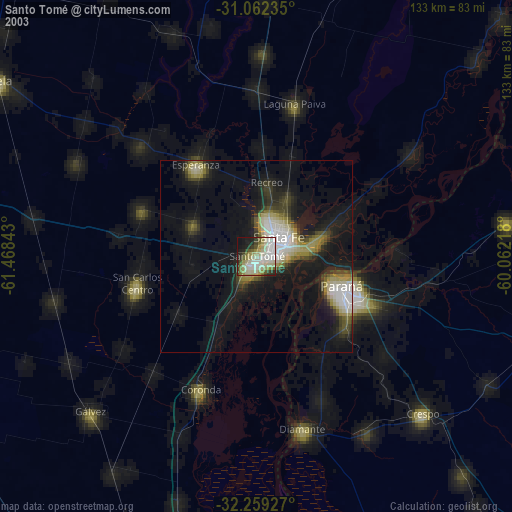
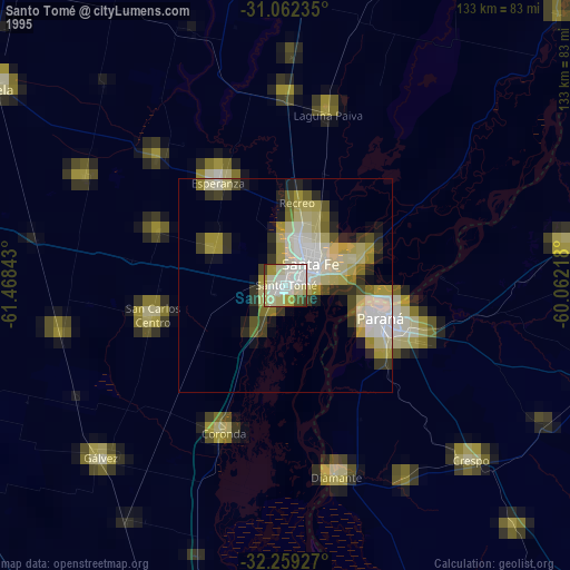
» NASA, Earths city lights 1995
» NASA city lights 2003
» Earth at Night: Flat Maps 2012, 2016