Palpalá night lights from space
Night Light of Palpalá (Jujuy) from space (Argentina) Src. Average luminocity for 10x10km area is 48.1496% and for 50x50km: 9.7214%.
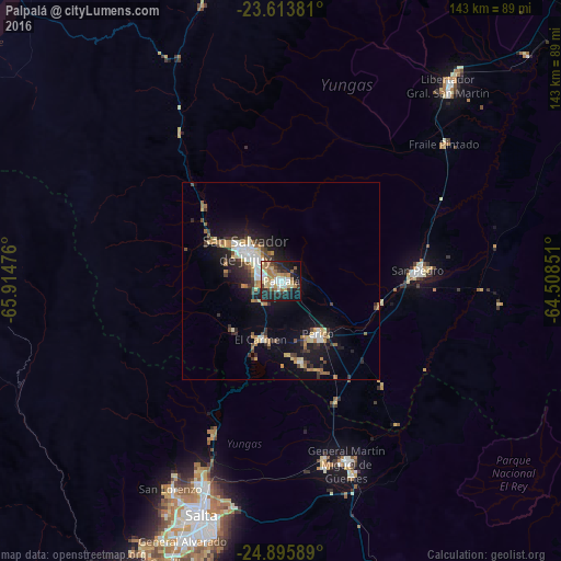
Analysis of Palpalá night lights 2016
Square area 10x10 km:
 8.71%
8.71%90-99
7.58%80-89
8.14%70-79
6.25%60-69
9.66%50-59
4.36%40-49
4.55%30-39
6.63%20-29
17.23%10-19
21.78%0-9
5.11%Square area 50x50 km:
1.35%90-99
1.26%80-89
1.2%70-79
1.13%60-69
1.56%50-59
0.89%40-49
1.12%30-39
1.74%20-29
2.84%10-19
7.14%0-9
79.76%Clear (daylight) street map image can be seen on geolist.org.
Map coordinates:
23° 36' 49.7" South, 65° 54' 53.1" West
24° 15' 23.3" South, 65° 12' 41.9" West
24° 53' 45.2" South, 64° 30' 30.6" West
Some cities around Palpalá sort by population:
• Salta
62.2 km =38.6 mi,  198°
198°
• San Salvador de Jujuy
11.1 km =6.9 mi,  308°
308°
• San Pedro de Jujuy
35.1 km =21.8 mi,  85°
85°
• Libertador General San Martín
66 km =41 mi,  40°
40°
• Fraile Pintado
54.6 km =33.9 mi,  50°
50°
• Tilcara
77.7 km =48.3 mi,  346°
346°
• Calilegua
70 km =43.5 mi, 39°
• Ingenio La Esperanza
37.9 km =23.5 mi,  84°
84°
3842190 (p: 48,199)
Sources (retrieved 2019-11-25):
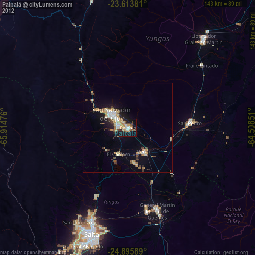
» Earth at Night: Flat Maps 2012, 2016