Corral de Bustos night lights from space
Night Light of Corral de Bustos (Cordoba) from space (Argentina) Src. Average luminocity for 10x10km area is 9.6993% and for 50x50km: 1.4183%.
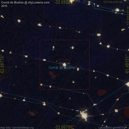
Analysis of Corral de Bustos night lights 2016
Square area 10x10 km:
 1.57%
1.57%90-99
1.92%80-89
1.22%70-79
0.87%60-69
1.4%50-59
1.4%40-49
0.7%30-39
1.4%20-29
0%10-19
0%0-9
89.51%Square area 50x50 km:
0.14%90-99
0.21%80-89
0.38%70-79
0.14%60-69
0.18%50-59
0.19%40-49
0.11%30-39
0.31%20-29
0.13%10-19
0.09%0-9
98.13%Clear (daylight) street map image can be seen on geolist.org.
Map coordinates:
32° 41' 32.2" South, 62° 53' 15.9" West
33° 16' 55.4" South, 62° 11' 4.7" West
33° 52' 4.3" South, 61° 28' 53.4" West
Some cities around Corral de Bustos sort by population:
• Venado Tuerto
55.3 km =34.4 mi,  158°
158°
• Justiniano Posse
63.8 km =39.6 mi,  313°
313°
• Arias
45.1 km =28 mi,  206°
206°
• Monte Maíz
39.7 km =24.7 mi,  282°
282°
• Cruz Alta
46.4 km =28.8 mi,  49°
49°
• Chañar Ladeado
14.4 km =8.9 mi,  109°
109°
• Monte Buey
47.9 km =29.8 mi,  328°
328°
• Laborde
64.1 km =39.8 mi, 282°
3860129 (p: 9,882)
Sources (retrieved 2019-11-25):
» Earth at Night: Flat Maps 2012, 2016