Artashat night lights from space
Night Light of Artashat (Ararat) from space (Armenia) Src. Average luminocity for 10x10km area is 4.8759% and for 50x50km: 5.5079%.
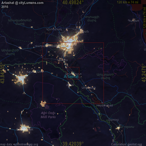
Analysis of Artashat night lights 2016
Square area 10x10 km:
 0%
0%90-99
0%80-89
0.68%70-79
0.17%60-69
3.23%50-59
0.68%40-49
1.36%30-39
0%20-29
0.34%10-19
0.34%0-9
93.2%Square area 50x50 km:
0.33%90-99
0.5%80-89
0.89%70-79
1.05%60-69
1.43%50-59
0.6%40-49
0.89%30-39
0.96%20-29
1.29%10-19
2.88%0-9
89.17%Clear (daylight) street map image can be seen on geolist.org.
Map coordinates:
40° 29' 53.7" North, 43° 50' 28.9" East
39° 57' 41.2" North, 44° 32' 40.1" East
39° 25' 13.4" North, 45° 14' 51.4" East
Some cities around Artashat sort by population:
• Yerevan
24.6 km =15.3 mi,  353°
353°
• Vagharshapat
31.1 km =19.3 mi,  316°
316°
• Abovyan
35.5 km =22.1 mi,  12°
12°
• Ararat
20 km =12.4 mi,  136°
136°
• Masis
15.9 km =9.9 mi, 316°
• Vedi
16.3 km =10.1 mi,  108°
108°
• Metsamor
24.8 km =15.4 mi,  299°
299°
• Garrni
23.9 km =14.9 mi,  42°
42°
174979 (p: 20,562)
Sources (retrieved 2019-11-25):
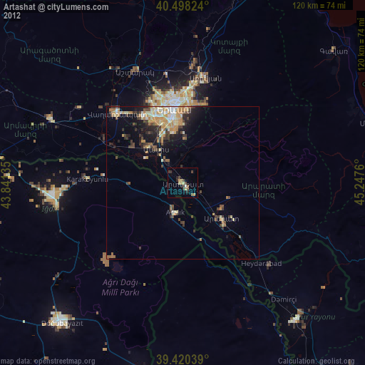
» Earth at Night: Flat Maps 2012, 2016