Vagharshapat night lights from space
Night Light of Vagharshapat (Armavir) from space (Armenia) Src. Average luminocity for 10x10km area is 7.0795% and for 50x50km: 8.8308%.
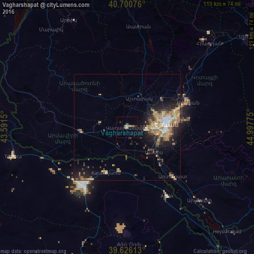
Analysis of Vagharshapat night lights 2016
Square area 10x10 km:
 0%
0%90-99
0%80-89
1.14%70-79
1.46%60-69
1.95%50-59
1.3%40-49
1.46%30-39
1.46%20-29
1.62%10-19
0.49%0-9
89.12%Square area 50x50 km:
0.54%90-99
0.93%80-89
1.45%70-79
1.75%60-69
2.24%50-59
0.93%40-49
1.37%30-39
1.34%20-29
2.35%10-19
4.86%0-9
82.23%Clear (daylight) street map image can be seen on geolist.org.
Map coordinates:
40° 42' 2.7" North, 43° 35' 29.4" East
40° 9' 56.1" North, 44° 17' 40.6" East
39° 37' 34.1" North, 44° 59' 51.9" East
Some cities around Vagharshapat sort by population:
• Yerevan
18.7 km =11.6 mi,  84°
84°
• Armavir
21.8 km =13.5 mi,  266°
266°
• Masis
15.2 km =9.4 mi,  137°
137°
• Ashtarak
15.9 km =9.9 mi,  21°
21°
• Yeghvard
24.1 km =15 mi,  42°
42°
• Metsamor
10.4 km =6.5 mi,  181°
181°
• Byureghavan
30.3 km =18.8 mi,  56°
56°
• Sardarapat
24.5 km =15.2 mi,  261°
261°
616062 (p: 46,540)
Sources (retrieved 2019-11-25):
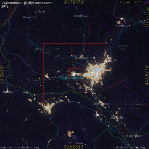
» Earth at Night: Flat Maps 2012, 2016