Vedi night lights from space
Night Light of Vedi (Ararat) from space (Armenia) Src. Average luminocity for 10x10km area is 0.3061% and for 50x50km: 1.9697%.
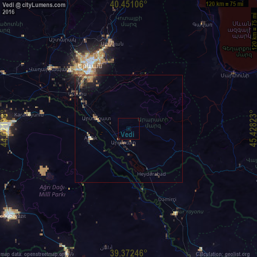
Analysis of Vedi night lights 2016
Square area 10x10 km:
 0%
0%90-99
0%80-89
0%70-79
0%60-69
0.17%50-59
0%40-49
0%30-39
0%20-29
0%10-19
0.34%0-9
99.49%Square area 50x50 km:
0.01%90-99
0.05%80-89
0.24%70-79
0.26%60-69
0.62%50-59
0.21%40-49
0.5%30-39
0.42%20-29
0.83%10-19
1.44%0-9
95.43%Clear (daylight) street map image can be seen on geolist.org.
Map coordinates:
40° 27' 3.8" North, 44° 1' 19.1" East
39° 54' 50" North, 44° 43' 30.4" East
39° 22' 20.9" North, 45° 25' 41.6" East
Some cities around Vedi sort by population:
• Yerevan
34.7 km =21.6 mi,  328°
328°
• Abovyan
40.8 km =25.4 mi,  348°
348°
• Ararat
9.4 km =5.8 mi,  190°
190°
• Artashat
16.3 km =10.1 mi,  288°
288°
• Masis
31.2 km =19.4 mi,  302°
302°
• Metsamor
40.9 km =25.4 mi, 295°
• Sharur City, AZ
45.7 km =28.4 mi,  151°
151°
• Garrni
22.9 km =14.2 mi,  1°
1°
174725 (p: 12,192)
Sources (retrieved 2019-11-25):
» Earth at Night: Flat Maps 2012, 2016