Ararat night lights from space
Night Light of Ararat from space (Armenia) Src. Average luminocity for 10x10km area is 4.4405% and for 50x50km: 0.9436%.
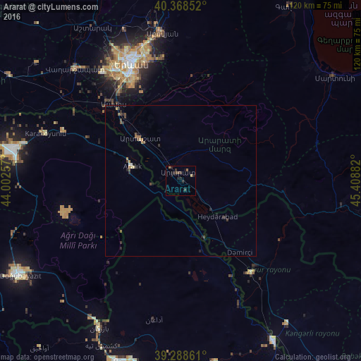
Analysis of Ararat night lights 2016
Square area 10x10 km:
100  0%
0%
90-99 0%
80-89 0.68%
70-79 0%
60-69 1.36%
50-59 0.68%
40-49 1.36%
30-39 1.7%
20-29 1.7%
10-19 3.91%
0-9 88.61%
0%90-99
0%80-89
0.68%70-79
0%60-69
1.36%50-59
0.68%40-49
1.36%30-39
1.7%20-29
1.7%10-19
3.91%0-9
88.61%Square area 50x50 km:
100 0.01%
90-99 0.05%
80-89 0.13%
70-79 0.05%
60-69 0.23%
50-59 0.13%
40-49 0.28%
30-39 0.23%
20-29 0.35%
10-19 0.35%
0-9 98.18%
0.01%90-99
0.05%80-89
0.13%70-79
0.05%60-69
0.23%50-59
0.13%40-49
0.28%30-39
0.23%20-29
0.35%10-19
0.35%0-9
98.18%Clear (daylight) street map image can be seen on geolist.org.
Map coordinates:
40° 22' 6.7" North, 44° 0' 9.3" East
39° 49' 50.5" North, 44° 42' 20.5" East
39° 17' 19" North, 45° 24' 31.8" East
Some cities around Ararat sort by population:
• Yerevan
42.3 km =26.3 mi,  337°
337°
• Abovyan
49.6 km =30.8 mi,  352°
352°
• Artashat
20 km =12.4 mi,  316°
316°
• Masis
35.9 km =22.3 mi, 316°
• Vedi
9.4 km =5.8 mi,  10°
10°
• Metsamor
44.4 km =27.6 mi,  307°
307°
• Sharur City, AZ
38.8 km =24.1 mi,  142°
142°
• Garrni
32.2 km =20 mi,  4°
4°
174991 (p: 28,832)
Sources (retrieved 2019-11-25):
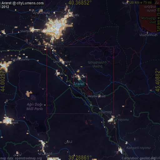
» Earth at Night: Flat Maps 2012, 2016