Përmet night lights from space
Night Light of Përmet (Gjirokastër) from space (Albania) Src. Average luminocity for 10x10km area is 1.4464% and for 50x50km: 0.5201%.
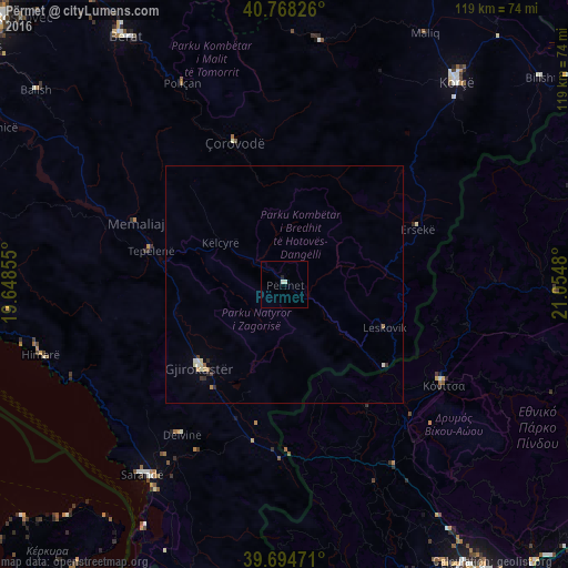
Analysis of Përmet night lights 2016
Square area 10x10 km:
 0%
0%90-99
1.3%80-89
0%70-79
0%60-69
0%50-59
0%40-49
0%30-39
0%20-29
0.65%10-19
0%0-9
98.05%Square area 50x50 km:
0.04%90-99
0.14%80-89
0.1%70-79
0.04%60-69
0.08%50-59
0.03%40-49
0%30-39
0.1%20-29
0.12%10-19
0.02%0-9
99.33%Clear (daylight) street map image can be seen on geolist.org.
Map coordinates:
40° 46' 5.7" North, 19° 38' 54.8" East
40° 14' 1" North, 20° 21' 6" East
39° 41' 41" North, 21° 3' 17.3" East
Some cities around Përmet sort by population:
• Korçë
56.1 km =34.9 mi,  40°
40°
• Berat
62.4 km =38.8 mi,  327°
327°
• Gjirokastër
25.2 km =15.7 mi,  225°
225°
• Sarandë
49.6 km =30.8 mi,  216°
216°
• Çorovodë
31.9 km =19.8 mi,  340°
340°
• Tepelenë
29 km =18 mi,  283°
283°
• Poliçan
47.3 km =29.4 mi, 332°
• Ersekë
30.1 km =18.7 mi,  67°
67°
782070 (p: 10,686)
Sources (retrieved 2019-11-25):
» Earth at Night: Flat Maps 2012, 2016