Kuçovë night lights from space
Night Light of Kuçovë (Berat) from space (Albania) Src. Average luminocity for 10x10km area is 8.9524% and for 50x50km: 2.8901%.
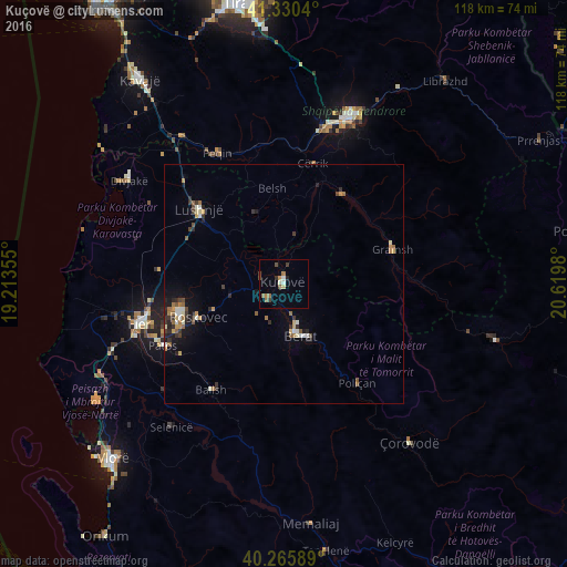
Analysis of Kuçovë night lights 2016
Square area 10x10 km:
 0.85%
0.85%90-99
0.85%80-89
1.02%70-79
0.34%60-69
2.38%50-59
1.53%40-49
1.7%30-39
1.53%20-29
0.85%10-19
0.51%0-9
88.44%Square area 50x50 km:
0.2%90-99
0.41%80-89
0.26%70-79
0.4%60-69
0.49%50-59
0.4%40-49
0.37%30-39
0.59%20-29
0.66%10-19
1.33%0-9
94.89%Clear (daylight) street map image can be seen on geolist.org.
Map coordinates:
41° 19' 49.4" North, 19° 12' 48.8" East
40° 48' 1" North, 19° 55' 0" East
40° 15' 57.2" North, 20° 37' 11.3" East
Some cities around Kuçovë sort by population:
• Patos
28.2 km =17.5 mi,  242°
242°
• Berat
10.9 km =6.8 mi,  164°
164°
• Lushnjë
23.8 km =14.8 mi,  311°
311°
• Cërrik
26.2 km =16.3 mi,  10°
10°
• Gramsh
23.8 km =14.8 mi,  71°
71°
• Poliçan
25.9 km =16.1 mi,  143°
143°
• Ballsh
27.1 km =16.8 mi,  214°
214°
• Roskovec
19.4 km =12.1 mi,  248°
248°
3185060 (p: 18,166)
Sources (retrieved 2019-11-25):
» Earth at Night: Flat Maps 2012, 2016