Ballsh night lights from space
Night Light of Ballsh (Fier) from space (Albania) Src. Average luminocity for 10x10km area is 1.638% and for 50x50km: 5.1807%.
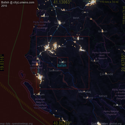
Analysis of Ballsh night lights 2016
Square area 10x10 km:
100  0%
0%
90-99 0.65%
80-89 0%
70-79 0%
60-69 0.65%
50-59 0%
40-49 0%
30-39 0.97%
20-29 0.32%
10-19 0%
0-9 97.4%
0%90-99
0.65%80-89
0%70-79
0%60-69
0.65%50-59
0%40-49
0%30-39
0.97%20-29
0.32%10-19
0%0-9
97.4%Square area 50x50 km:
100 0.46%
90-99 0.76%
80-89 0.42%
70-79 0.77%
60-69 0.83%
50-59 0.63%
40-49 0.54%
30-39 0.81%
20-29 1.28%
10-19 4.27%
0-9 89.23%
0.46%90-99
0.76%80-89
0.42%70-79
0.77%60-69
0.83%50-59
0.63%40-49
0.54%30-39
0.81%20-29
1.28%10-19
4.27%0-9
89.23%Clear (daylight) street map image can be seen on geolist.org.
Map coordinates:
41° 7' 50.3" North, 19° 1' 53.8" East
40° 35' 56" North, 19° 44' 5" East
40° 3' 46.4" North, 20° 26' 16.3" East
Some cities around Ballsh sort by population:
• Vlorë
25.7 km =16 mi,  235°
235°
• Fier-Çifçi
19.3 km =12 mi,  312°
312°
• Patos
13.5 km =8.4 mi, 313°
• Fier
20.5 km =12.7 mi, 312°
• Berat
21.9 km =13.6 mi,  57°
57°
• Patos Fshat
8.6 km =5.3 mi,  304°
304°
• Selenicë
11.3 km =7 mi,  227°
227°
• Roskovec
15.7 km =9.8 mi,  349°
349°
3186145 (p: 10,361)
Sources (retrieved 2019-11-25):
» Earth at Night: Flat Maps 2012, 2016