Fayrōz Kōh night lights from space
Night Light of Fayrōz Kōh (Ghowr) from space (Afghanistan) Src. Average luminocity for 10x10km area is 0% and for 50x50km: 0%.
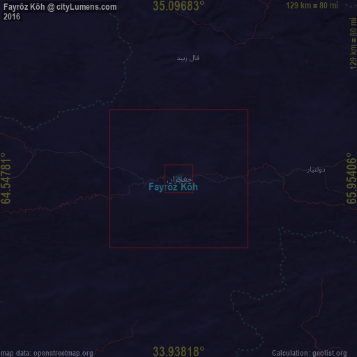
Analysis of Fayrōz Kōh night lights 2016
Square area 10x10 km:
 0%
0%90-99
0%80-89
0%70-79
0%60-69
0%50-59
0%40-49
0%30-39
0%20-29
0%10-19
0%0-9
100%Square area 50x50 km:
0%90-99
0%80-89
0%70-79
0%60-69
0%50-59
0%40-49
0%30-39
0%20-29
0%10-19
0%0-9
100%Clear (daylight) street map image can be seen on geolist.org.
Map coordinates:
35° 5' 48.6" North, 64° 32' 52.1" East
34° 31' 10.3" North, 65° 15' 3.3" East
33° 56' 17.4" North, 65° 57' 14.6" East
Some cities around Fayrōz Kōh sort by population:
• Maymana
161.5 km =100.4 mi,  344°
344°
• Shahrak
98.2 km =61 mi,  242°
242°
• Panjāb
163.2 km =101.4 mi,  95°
95°
• Chīras
120 km =74.6 mi,  33°
33°
• Darzāb
162.5 km =101 mi,  4°
4°
• Tagāw-Bāy
150.5 km =93.5 mi, 29°
• Qal‘ah-ye Shahr
117.9 km =73.3 mi,  14°
14°
• Nīlī
120.1 km =74.6 mi,  137°
137°
1145904 (p: 15,000)
Sources (retrieved 2019-11-25):
» Earth at Night: Flat Maps 2012, 2016