Thal night lights from space
Night Light of Thal (Khyber Pakhtunkhwa) from space (Pakistan) Src. Average luminocity for 10x10km area is 0% and for 50x50km: 0.1129%.
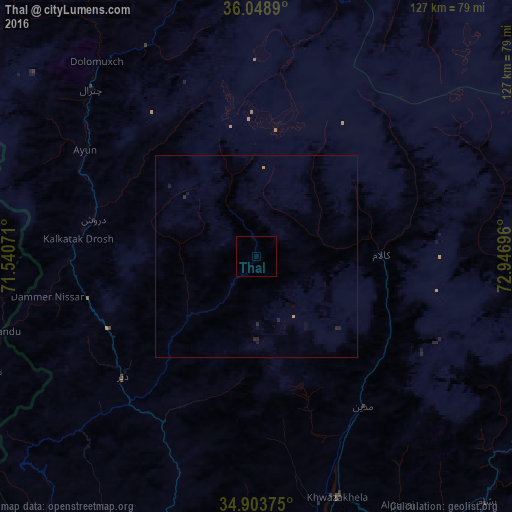

Analysis of Thal night lights 2016
Square area 10x10 km:
 0%
0%90-99
0%80-89
0%70-79
0%60-69
0%50-59
0%40-49
0%30-39
0%20-29
0%10-19
0%0-9
100%Square area 50x50 km:
0%90-99
0%80-89
0%70-79
0.01%60-69
0.04%50-59
0%40-49
0%30-39
0.01%20-29
0.16%10-19
0.11%0-9
99.66%Clear (daylight) street map image can be seen on geolist.org.
Map coordinates:
36° 2' 56" North, 71° 32' 26.6" East
35° 28' 42.1" North, 72° 14' 37.8" East
34° 54' 13.5" North, 72° 56' 49.1" East
Some cities around Thal sort by population:
• Battagram
113.9 km =70.8 mi,  141°
141°
• Mingora
78.5 km =48.8 mi,  172°
172°
• Asadābād, AF
120.3 km =74.8 mi,  235°
235°
• Bat Khela
98.8 km =61.4 mi,  194°
194°
• Upper Dir
44.9 km =27.9 mi,  227°
227°
• Tangi
141.6 km =88 mi,  202°
202°
• Āsmār, AF
94.4 km =58.7 mi, 238°
• Pārūn, AF
119.8 km =74.4 mi,  266°
266°
1164076 (p: 29,331)
Sources (retrieved 2019-11-25):
» Earth at Night: Flat Maps 2012, 2016