Musaffah night lights from space
Night Light of Musaffah (Abu Dhabi) from space (United Arab Emirates) Src. Average luminocity for 10x10km area is 95.4464% and for 50x50km: 54.7237%.
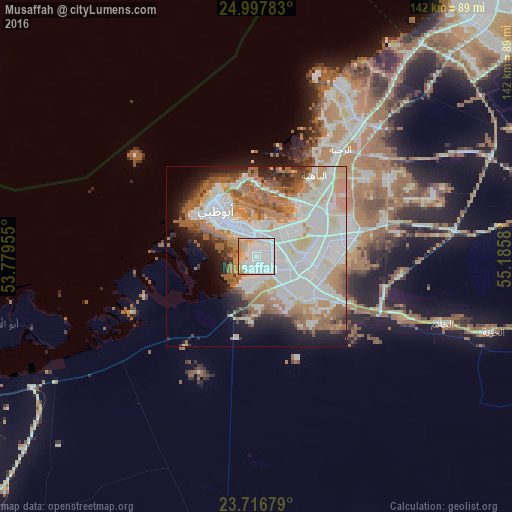
Analysis of Musaffah night lights 2016
Square area 10x10 km:
 60.52%
90-99
17.86%80-89
13.69%70-79
6.75%60-69
0.79%50-59
0%40-49
0.4%30-39
0%20-29
0%10-19
0%0-9
0%Square area 50x50 km:
18.93%90-99
13.27%80-89
4.67%70-79
5.51%60-69
8.78%50-59
8.02%40-49
2.69%30-39
2.78%20-29
4.4%10-19
7.39%0-9
23.54%Clear (daylight) street map image can be seen on geolist.org.
Map coordinates:
24° 59' 52.2" North, 53° 46' 46.4" East
24° 21' 32.1" North, 54° 28' 57.6" East
23° 43' 0.4" North, 55° 11' 8.9" East
Some cities around Musaffah sort by population:
• Dubai
115.5 km =71.8 mi,  46°
46°
• Abu Dhabi
13.4 km =8.3 mi,  319°
319°
• Khalifah A City
14.5 km =9 mi,  58°
58°
• Bani Yas City
15.8 km =9.8 mi,  110°
110°
• Al Buraymī, OM
133.3 km =82.8 mi,  95°
95°
• Zayed City
111.2 km =69.1 mi,  225°
225°
• Al Shamkhah City
23.1 km =14.4 mi,  80°
80°
• Al Ain City
130.9 km =81.3 mi, 98°
12042053 (p: 243,341)
Sources (retrieved 2019-11-25):
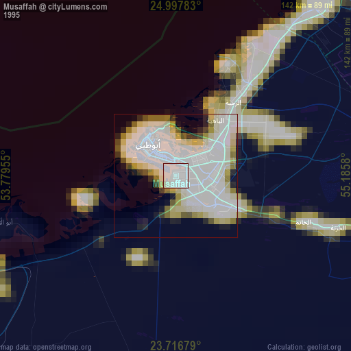
» NASA, Earths city lights 1995
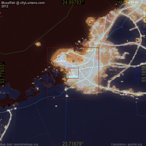
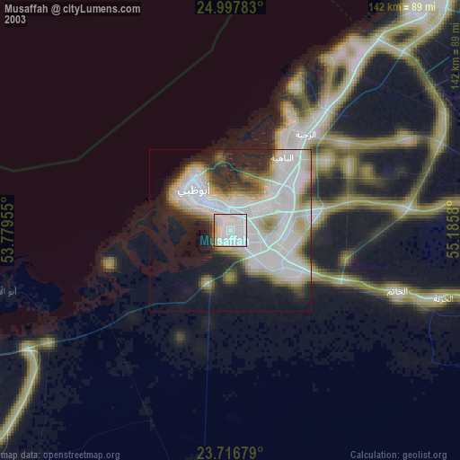
» NASA city lights 2003
» Earth at Night: Flat Maps 2012, 2016