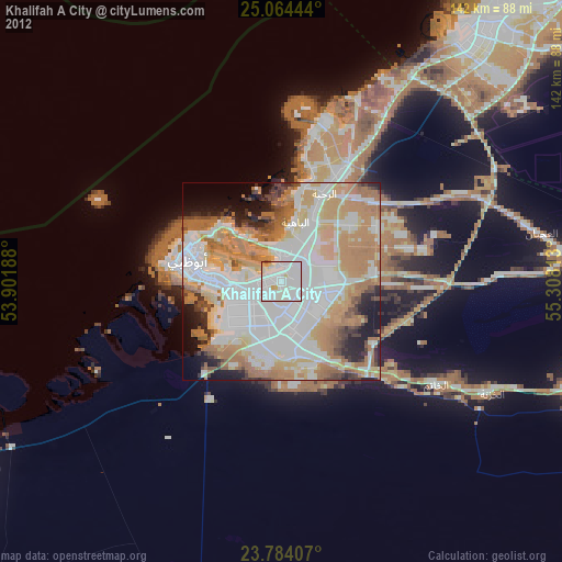
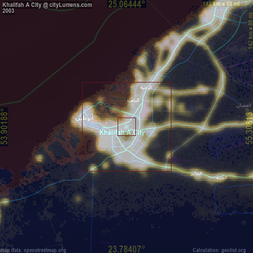
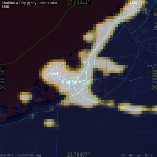
Khalifah A City night lights from space
Night Light of Khalifah A City (Abu Dhabi) from space (United Arab Emirates) Src. Average luminocity for 10x10km area is 92.9782% and for 50x50km: 66.1975%.
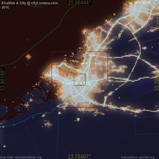
Analysis of Khalifah A City night lights 2016
Square area 10x10 km:
 37.9%
37.9%90-99
34.33%80-89
14.48%70-79
10.12%60-69
1.79%50-59
1.39%40-49
0%30-39
0%20-29
0%10-19
0%0-9
0%Square area 50x50 km:
20.54%90-99
15.34%80-89
5.59%70-79
7.25%60-69
14.91%50-59
10.05%40-49
4.02%30-39
3.29%20-29
5.46%10-19
6.67%0-9
6.87%Clear (daylight) street map image can be seen on geolist.org.
Map coordinates:
25° 3' 52" North, 53° 54' 6.8" East
24° 25' 33.2" North, 54° 36' 18" East
23° 47' 2.7" North, 55° 18' 29.3" East
Some cities around Khalifah A City sort by population:
• Dubai
101.5 km =63.1 mi,  44°
44°
• Abu Dhabi
21.2 km =13.2 mi,  277°
277°
• Musaffah
14.5 km =9 mi,  238°
238°
• Bani Yas City
13.1 km =8.1 mi,  169°
169°
• Al Buraymī, OM
121.9 km =75.7 mi,  99°
99°
• Zayed City
125.3 km =77.9 mi,  226°
226°
• Al Shamkhah City
11 km =6.8 mi,  109°
109°
• Al Ain City
120 km =74.6 mi, 102°
8057551 (p: 85,374)
Sources (retrieved 2019-11-25):
» NASA, Earths city lights 1995
» NASA city lights 2003
» Earth at Night: Flat Maps 2012, 2016