Alberton night lights from space
Night Light of Alberton (Gauteng) from space (South Africa) Src. Average luminocity for 10x10km area is 96.1389% and for 50x50km: 75.3371%.
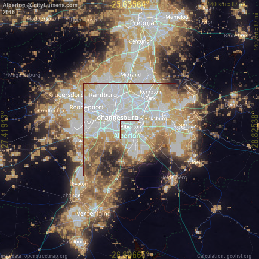
Analysis of Alberton night lights 2016
Square area 10x10 km:
 40.67%
90-99
42.26%80-89
15.87%70-79
1.19%60-69
0%50-59
0%40-49
0%30-39
0%20-29
0%10-19
0%0-9
0%Square area 50x50 km:
27.37%90-99
19.92%80-89
11.25%70-79
9.95%60-69
5.54%50-59
5.41%40-49
4.74%30-39
3.2%20-29
4.99%10-19
3.73%0-9
3.88%Clear (daylight) street map image can be seen on geolist.org.
Map coordinates:
25° 38' 8.3" South, 27° 25' 8.9" East
26° 16' 4.3" South, 28° 7' 20.1" East
26° 53' 47.9" South, 28° 49' 31.4" East
Some cities around Alberton sort by population:
• Johannesburg
10.7 km =6.6 mi,  312°
312°
• Benoni
21.7 km =13.5 mi,  65°
65°
• Boksburg
15 km =9.3 mi, 65°
• Edenvale
14.4 km =8.9 mi,  12°
12°
• Eden Glen
15.8 km =9.8 mi,  17°
17°
• Eastleigh
15.7 km =9.8 mi, 12°
• Eden Glen Ext 60
16.3 km =10.1 mi, 15°
• Riverlea
16.1 km =10 mi,  292°
292°
1023441 (p: 121,536)
Sources (retrieved 2019-11-25):
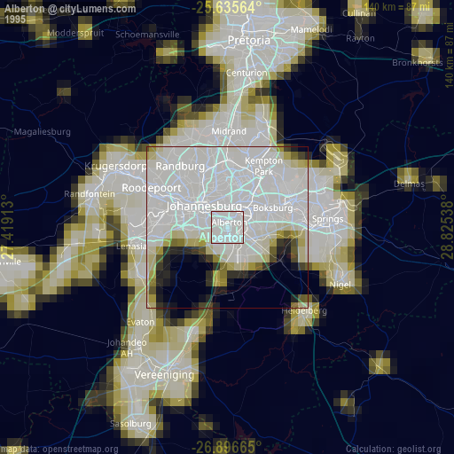
» NASA, Earths city lights 1995
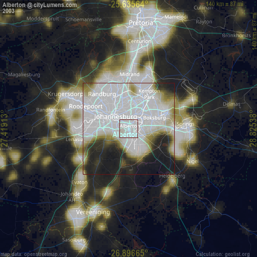
» NASA city lights 2003
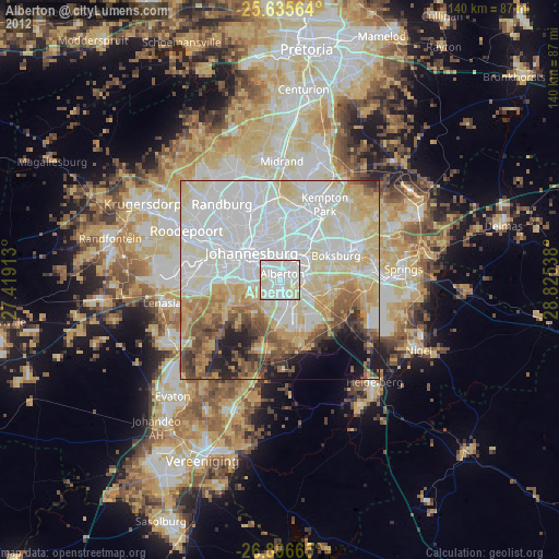
» Earth at Night: Flat Maps 2012, 2016