Mamoudzou night lights from space
Night Light of Mamoudzou from space (Mayotte) Src. Average luminocity for 10x10km area is 30.4675% and for 50x50km: 4.2042%.
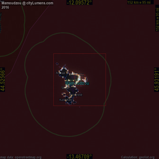

Analysis of Mamoudzou night lights 2016
Square area 10x10 km:
 4.76%
4.76%90-99
5.19%80-89
2.6%70-79
4.98%60-69
1.95%50-59
5.41%40-49
2.38%30-39
2.6%20-29
1.52%10-19
55.84%0-9
12.77%Square area 50x50 km:
0.43%90-99
0.54%80-89
0.32%70-79
0.37%60-69
0.53%50-59
0.9%40-49
0.4%30-39
0.76%20-29
0.59%10-19
3.41%0-9
91.74%Clear (daylight) street map image can be seen on geolist.org.
Map coordinates:
12° 5' 44.6" South, 44° 31' 32.4" East
12° 46' 56.4" South, 45° 13' 43.6" East
13° 28' 1.5" South, 45° 55' 54.9" East
Some cities around Mamoudzou sort by population:
• Koungou
6 km =3.7 mi,  333°
333°
• Dzaoudzi
3.1 km =1.9 mi,  92°
92°
• Dembeni
8.3 km =5.2 mi,  215°
215°
• Pamandzi
5.7 km =3.5 mi,  106°
106°
• Bandraboua
14.4 km =8.9 mi,  306°
306°
• Tsingoni
13.7 km =8.5 mi,  267°
267°
• Ouangani
12.3 km =7.6 mi,  234°
234°
• Chiconi
14 km =8.7 mi,  246°
246°
921815 (p: 54,831)
Sources (retrieved 2019-11-25):
» NASA, Earths city lights 1995
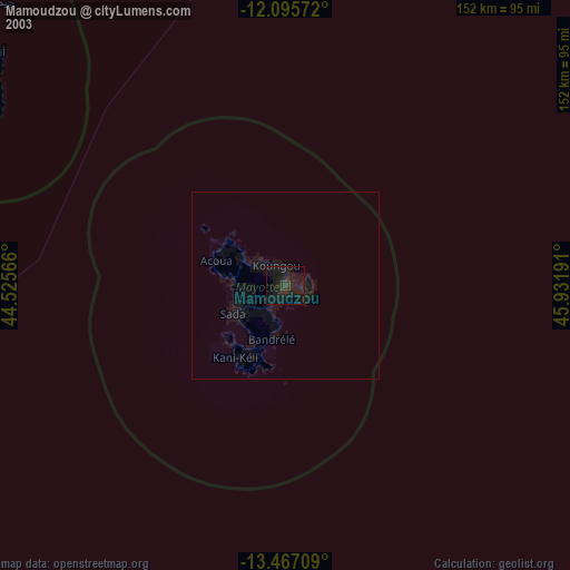
» NASA city lights 2003
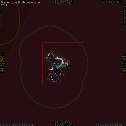
» Earth at Night: Flat Maps 2012, 2016