Dembeni night lights from space
Night Light of Dembeni from space (Mayotte) Src. Average luminocity for 10x10km area is 14.5195% and for 50x50km: 4.2042%.
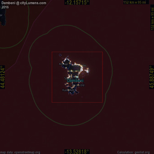
Analysis of Dembeni night lights 2016
Square area 10x10 km:
100  0.65%
0.65%
90-99 1.52%
80-89 0%
70-79 2.38%
60-69 2.81%
50-59 0%
40-49 2.6%
30-39 3.03%
20-29 3.9%
10-19 17.1%
0-9 66.02%
0.65%90-99
1.52%80-89
0%70-79
2.38%60-69
2.81%50-59
0%40-49
2.6%30-39
3.03%20-29
3.9%10-19
17.1%0-9
66.02%Square area 50x50 km:
100 0.43%
90-99 0.54%
80-89 0.32%
70-79 0.37%
60-69 0.53%
50-59 0.9%
40-49 0.4%
30-39 0.76%
20-29 0.59%
10-19 3.41%
0-9 91.74%
0.43%90-99
0.54%80-89
0.32%70-79
0.37%60-69
0.53%50-59
0.9%40-49
0.4%30-39
0.76%20-29
0.59%10-19
3.41%0-9
91.74%Clear (daylight) street map image can be seen on geolist.org.
Map coordinates:
12° 9' 25.7" South, 44° 28' 52.5" East
12° 50' 37" South, 45° 11' 3.7" East
13° 31' 41.4" South, 45° 53' 15" East
Some cities around Dembeni sort by population:
• Mamoudzou
8.3 km =5.2 mi,  35°
35°
• Dzaoudzi
10.3 km =6.4 mi,  49°
49°
• Sada
9 km =5.6 mi,  265°
265°
• Tsingoni
10.8 km =6.7 mi,  305°
305°
• Ouangani
5.2 km =3.2 mi, 266°
• Chiconi
8.1 km =5 mi,  278°
278°
• Bandrélé
7.7 km =4.8 mi,  173°
173°
• Chirongui
10.6 km =6.6 mi,  201°
201°
921917 (p: 10,141)
Sources (retrieved 2019-11-25):
» Earth at Night: Flat Maps 2012, 2016