Chiconi night lights from space
Night Light of Chiconi from space (Mayotte) Src. Average luminocity for 10x10km area is 15.2619% and for 50x50km: 4.2042%.
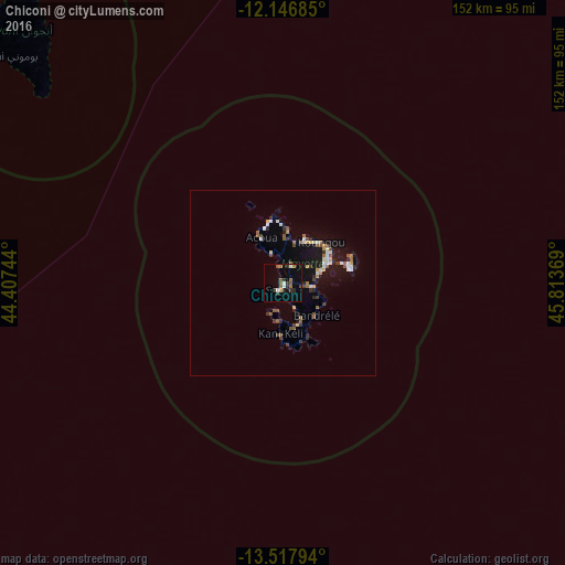
Analysis of Chiconi night lights 2016
Square area 10x10 km:
100  1.52%
1.52%
90-99 1.95%
80-89 0.87%
70-79 0%
60-69 4.11%
50-59 3.46%
40-49 0.65%
30-39 3.68%
20-29 4.11%
10-19 4.98%
0-9 74.68%
1.52%90-99
1.95%80-89
0.87%70-79
0%60-69
4.11%50-59
3.46%40-49
0.65%30-39
3.68%20-29
4.11%10-19
4.98%0-9
74.68%Square area 50x50 km:
100 0.43%
90-99 0.54%
80-89 0.32%
70-79 0.37%
60-69 0.53%
50-59 0.9%
40-49 0.4%
30-39 0.76%
20-29 0.59%
10-19 3.41%
0-9 91.74%
0.43%90-99
0.54%80-89
0.32%70-79
0.37%60-69
0.53%50-59
0.9%40-49
0.4%30-39
0.76%20-29
0.59%10-19
3.41%0-9
91.74%Clear (daylight) street map image can be seen on geolist.org.
Map coordinates:
12° 8' 48.7" South, 44° 24' 26.8" East
12° 49' 60" South, 45° 6' 38" East
13° 31' 4.6" South, 45° 48' 49.3" East
Some cities around Chiconi sort by population:
• Dembeni
8.1 km =5 mi,  98°
98°
• Sada
2.1 km =1.3 mi,  205°
205°
• Tsingoni
5.2 km =3.2 mi,  350°
350°
• Ouangani
3.1 km =1.9 mi,  117°
117°
• Bandrélé
12.5 km =7.8 mi,  134°
134°
• Chirongui
11.7 km =7.3 mi,  159°
159°
• Bouéni
8.5 km =5.3 mi, 205°
• M'Tsangamouji
8.7 km =5.4 mi,  340°
340°
1090322 (p: 7,204)
Sources (retrieved 2019-11-25):
» Earth at Night: Flat Maps 2012, 2016